Time zone UTC -3 | Region Nordeste Mesoregion Norte Maranhense Area 706.4 km² | |
 | ||
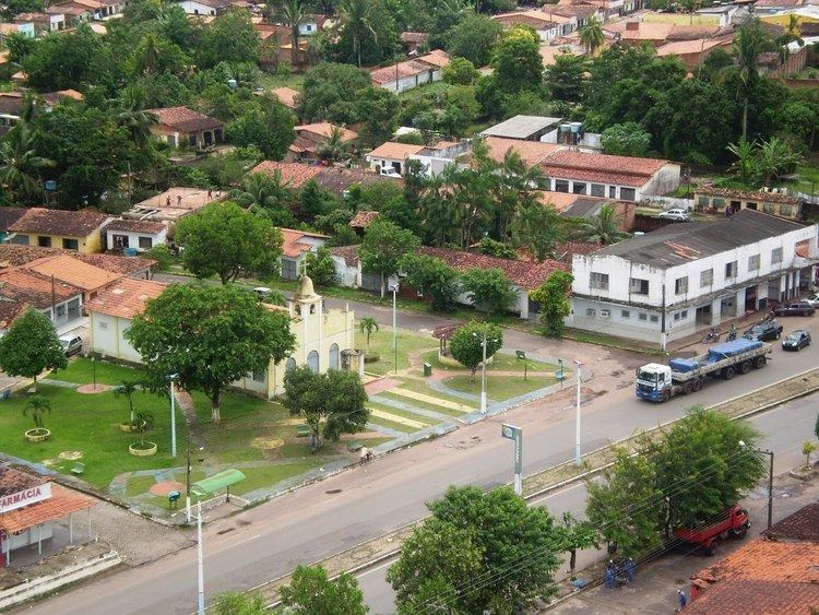
Santa Rita, Maranhão is a municipality in the state of Maranhão in the Northeast region of Brazil.
Map of Santa Rita - Maranh%C3%A3o, Brazil
The municipality contains a small part of the Baixada Maranhense Environmental Protection Area, a 1,775,035.6 hectares (4,386,208 acres) sustainable use conservation unit created in 1991 that has been a Ramsar Site since 2000. The municipality contains part of the 1,535,310 hectares (3,793,800 acres) Upaon-Açu/Miritiba/Alto Preguiças Environmental Protection Area, created in 1992.
References
Santa Rita, Maranhão Wikipedia(Text) CC BY-SA
