
Time zone ETZ (UTC-5) Founded 1850 Local time Tuesday 9:19 PM | Area 158 km² Population 6,992 (2000) | |
 | ||
Weather 28°C, Wind N at 19 km/h, 67% Humidity | ||
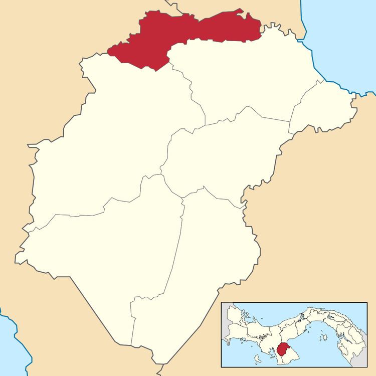
Santa María District is a district (distrito) of Herrera Province in Panama. The population according to the 2000 census was 6,992. The district covers a total area of 158 km². The capital lies at the city of Santa María.
Contents
Map of Santa Mar%C3%ADa District, Panama
Administrative divisions
The district is divided administratively into the following corregimientos:
Santa María (capital), Chupampa, El Rincón, El Limón and Los Canelos.
References
Santa María District, Panama Wikipedia(Text) CC BY-SA