
Founded 1647 Area code(s) (595) (781) Elevation 130 m | Department Misiones Postal code 4950 Area 520 km² Local time Tuesday 11:40 PM | |
 | ||
Weather 23°C, Wind E at 6 km/h, 79% Humidity | ||
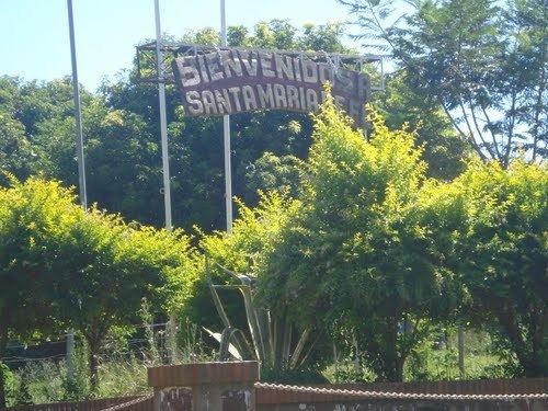
Santa María de Fe is a town and district located in the Misiones Department in Paraguay, located about 15 km from the city of San Ignacio.
Contents
Map of Santa Maria, Paraguay
Geography
The district of Santa María de Fe is located in the Eastern Region of Paraguay. It's located 253 km south of Asuncion, the capital of the country, one arrives at Santa Maria, taking the National Route Number 1, and then taking a detour between the cities of San Ignacio and Santa Rosa.
Limists
The district of Santa María is bordered by the following districts:
Demography
According to the 2002 Census, Santa María has a total population of 7,385 inhabitants, of which 1,981 lives in the urban area of the district.
References
Santa María, Paraguay Wikipedia(Text) CC BY-SA