
Founded 1782 Postal code 90700 Population 16,742 (2011) | Time zone UTC -3 Dial plan +598 433 (+5 digits) Local time Tuesday 9:41 PM | |
 | ||
Weather 21°C, Wind E at 16 km/h, 77% Humidity | ||
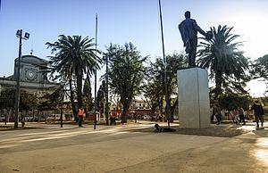
Santa Lucía ([ˈsanta luˈsi.a]) is a city in the Canelones Department of southern Uruguay.
Contents
- Map of Santa Lucia Canelones Department Uruguay
- Location
- History
- Population
- Places of worship
- Government
- Notable people
- References
Map of Santa Lucia, Canelones Department, Uruguay
Santa Lucía is also the name of the municipality to which the city belongs.
Location
The city is located on the intersection of Route 11 with Route 63, about 60 kilometres (37 mi) northwest of the centre of Montevideo. The river Río Santa Lucía, after which the city is named, flows along the northwestern limits of the city.
History
Santa Lucía was founded in 1782 with the name of Villa San Juan Bautista. It had acquired the status of "Villa" (town) before the Independence of Uruguay. On 15 June 1925, its status was elevated to "Ciudad" (city) by the Act of Ley Nº 7.837.
Population
According to the 2011 census, Santa Lucía had a population of 16,742. In 2010, the Intendencia de Canelones estimated a population of 18,346 for the municipality during the elections.
Source: Instituto Nacional de Estadística de Uruguay
Places of worship
Government
The city mayor as of July 2010 is Raúl Estramín.