
Area 62,800 km² Number of airports 1 | Time zone BRT (UTC−4) Local time Tuesday 8:27 PM | |
 | ||
Weather 26°C, Wind E at 6 km/h, 84% Humidity | ||
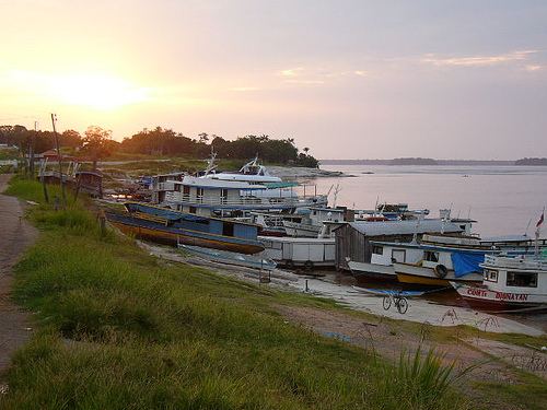
Santa Isabel do Rio Negro (Saint Isabel of Black River) is a municipality located in the Brazilian state of Amazonas. Its population was 7,617 (2005) and its area is 62,846 square kilometres (24,265 sq mi). The Municipality was formerly called Tapuruquara.
Map of Santa Isabel do Rio Negro - State of Amazonas, Brazil
Pico da Neblina, the highest mountain in Brazil at 2,994 metres (9,822 feet), is located in the municipality. However, the peak is 180 kilometres (110 mi) in a straight line from the urban seat of the municipality, inaccessible except through the Amazon rainforest, and in both a national park and a Yanomami reservation under federal control and with restricted access, so this is of little to no practical significance.
The municipality also contains part of the Amazonas National Forest.
The city is served by Tapuruquara Airport.