
- location Cochiti Lake Basin area 738.1 km² Mouth Rio Grande | Length 74 km Basin area 738.1 km² | |
 | ||
Source Sangre de Cristo Mountains | ||
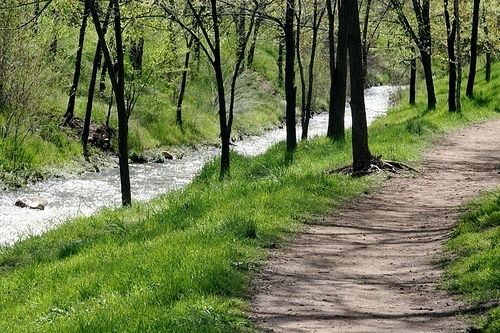
The Santa Fe River is a tributary of the Rio Grande in northern New Mexico. It starts in the Sangre de Cristo mountain range and passes through the state capital, Santa Fe providing approximately 40% of the city's water supply. It is an intermittent stream with two perennial reaches.
The river is 46 miles (74 km) long. It was first dammed in 1881 and flows when water is released by the city of Santa Fe from two continuous reservoirs. The site of the 1881 dam, upstream of Santa Fe, is now part of the 190-acre (0.77 km2) Santa Fe Canyon Preserve, a trailhead for the 20-mile (32 km) Dale Ball Foothill Trail System.
The Santa Fe River Watershed is 285 square miles (740 km2), ranging in elevations between 12,408 ft (3,782 m) to 5,220 ft (1,590 m).
The environmental group American Rivers designated the Santa Fe River as America's most endangered river of 2007, and Santa Fe Mayor David Coss has made reviving the river one of his administration's top priorities.
Santa Fe River TrailEdit
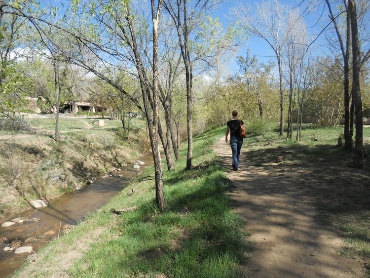
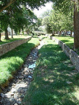
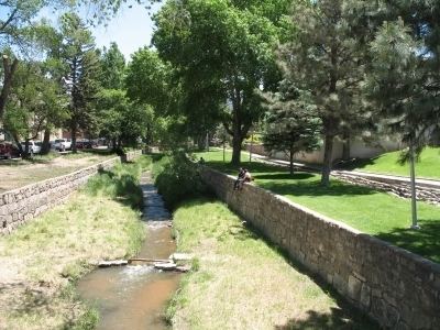
As of 2007, the Santa Fe River Trail existed in short segments, within Santa Fe (city) and Santa Fe County, and the city and county developed plans to link those segments. The initial push was to develop the trail from the city downstream; this was the corridor of the historic El Camino Real de Tierra Adentro, which approached Santa Fe from downstream via the Santa Fe River Canyon below the east rim of the Caja del Rio. The paraje on the Camino Real before Santa Fe was in La Cienega, at what is now El Rancho de las Golondrinas. From Patrick Smith Park to NM 599 the trail will eventually stretch 13 miles point-to-point.
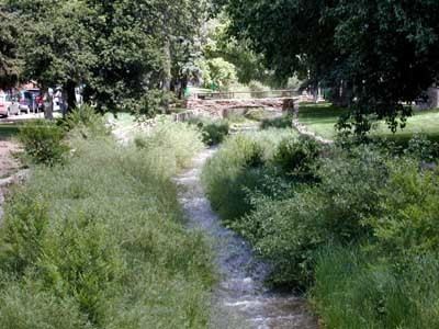
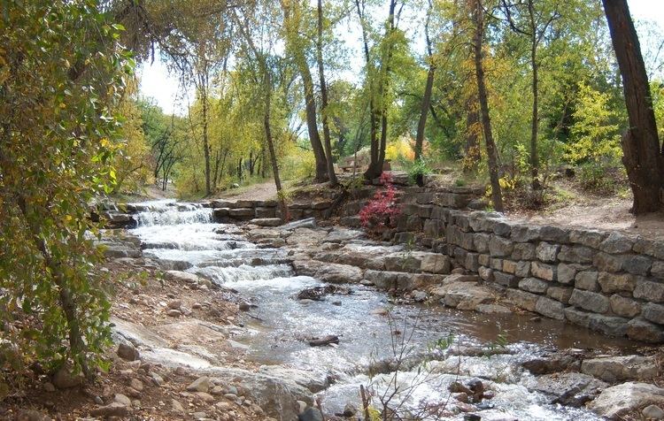
In the spring of 2012 construction was completed on a new 1.3mi section of the trail from Camino Alire west to Frenchy's Field Park. The work through this section includes extensive rehabilitation of the riverbed, significant erosion protection structures, and the addition of hundreds of cottonwood saplings and willows along the entire 1.3mi stretch.
Further west on the county managed stretch of the river two orphan sections of the trail wait to be connected to the existing system. One section extends west for a mile beginning at the Community Farm at San Ysidro crossing. The other extends north and west from Agua Fria and Dominguez Lane toward the Municipal Recreation Center on Caja del Rio Rd.