Time zone CET/CEST (UTC+1/+2) Area 5.66 km² Population 847 (31 Dec 2008) Dialling code 06701 | Elevation 150 m (490 ft) Postal codes 55578 Local time Tuesday 7:15 PM Postal code 55578 | |
 | ||
Weather 7°C, Wind W at 6 km/h, 84% Humidity | ||
Sankt Johann is an Ortsgemeinde – a municipality belonging to a Verbandsgemeinde, a kind of collective municipality – in the Mainz-Bingen district in Rhineland-Palatinate, Germany.
Contents
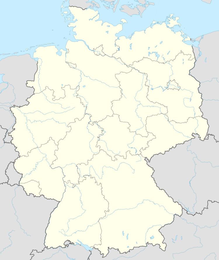
- Map of Sankt Johann Germany
- Location
- History
- Buildings
- Sport
- Regular events
- Sons and daughters of the town
- References
Map of Sankt Johann, Germany
Location
The municipality lies in Rhenish Hesse and belongs to the Verbandsgemeinde of Sprendlingen-Gensingen, whose seat is in Sprendlingen.
History
The typical Rhenish-Hessian wine village was known in the Middle Ages as Weiler Megelsheim (Weiler means “hamlet” in German) and had its first documentary mention in 1220.
Buildings
The municipality’s landmark is the High Gothic Evangelical Johanniskirche (Saint John’s Church) with an important Oberndörfer organ from 1793. This church was built as a pilgrimage church in the latter half of the 14th century by the Counts of Sponheim. It is consecrated to John the Baptist. Worth seeing are the church’s mediaeval wall paintings and the modern church windows by Heinz Hindorf.
Sport
Up above the community, on the Wißberg, is a golf course.
Regular events
There are regular concerts at Saint John’s Church.
The Sankt Johanner Jahrmarkt, a yearly market, goes back to the Middle Ages and is held on the weekend following Midsummer
