
River mouth Adriatic Length 122 km Province Province of Chieti | Basin size 1,545 km (597 sq mi) Source elevation 1,441 m | |
 | ||
Main source Monte Morrone del Diavolo, elevation 1,602 m (5,256 ft), Pescasseroli1,441 m (4,728 ft) Discharge Average rate:(at Ateleta) 9.2 m/s (320 cu ft/s) at Ateleta; about 20 m/s (710 cu ft/s) at the mouth | ||
The Sangro is a river in eastern central Italy, known in ancient times as Sagrus from the Greek Sagros or Isagros, Ισαγρος.
Map of Fiume Sangro, Province of Chieti, Italy
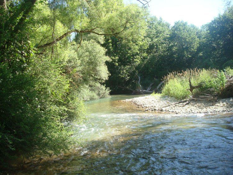
It rises in the middle of Abruzzo National Park near Pescasseroli in the Apennine Mountains. It flows southeast past Pescasseroli, Opi and Villetta Barrea and flows into the artificial lake Lago di Barrea. It then flows northeast through Alfedena, Castel di Sangro, Ateleta, Quadri, and Villa Santa Maria, before flowing into the Lago di Bomba. From there it flows northeast and joins the Aventino River, and thence into the Adriatic Sea south of Punta Cavelluccio.
During World War II, the mouth of the Sangro was part of the series of German military fortifications known as the Gustav Line. The Eighth Army crossed the Sangro on 23 November 1943. This crossing was the beginning of the Allied offensive on the Winter Line defenses east of the Apennines.