
Time zone PST (UTC+5) Province Khyber Pakhtunkhwa | District Swat Elevation 1,120 m | |
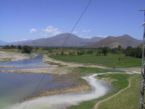 | ||
Sangota is a village in Swat District of Khyber-Pakhtunkhwa. It is located at 34°47'0N 72°25'0E with an altitude of 1120 metres (3677 feet). Catholic Public High School is located in the village.
Map of Sangota, Pakistan
References
Sangota Wikipedia(Text) CC BY-SA