
- location near Busbys Flat Length 55 km | - location Bungawalbin | |
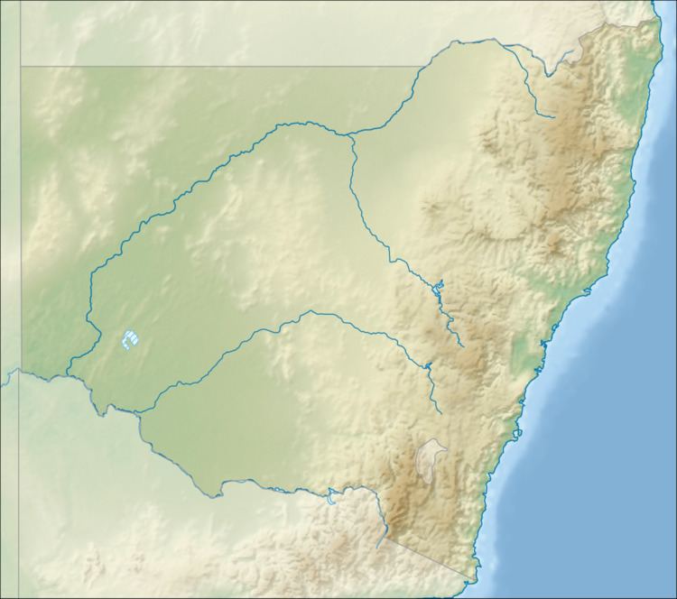 | ||
The Sandy Creek, a perennial stream of the Richmond River catchment, is located in Northern Rivers region in the state of New South Wales, Australia.
Contents
Map of Sandy Creek, New South Wales, Australia
Location and features
Sandy Creek rises about 4 kilometres (2.5 mi) north of the village of Busbys Flat. The river flows generally east, north, east, and then south before reaching its confluence with the Richomnd River near Bungawalbin, south of Coraki. The river flows for approximately 55 kilometres (34 mi) over its course.
References
Sandy Creek (Richmond Valley) Wikipedia(Text) CC BY-SA