
Population 10,800 (2006) | ||
 | ||
Southeasts Three Kings, New Zealand, Greenwoods Corner, New Zealand Northeasts Mount Eden, Eden Valley, New Zealand | ||
Sandringham is a suburb of Auckland, New Zealand. It is a bustling, multi-ethnic suburb, and has a population of 10,800.
Contents
- Map of Sandringham Auckland New Zealand
- History
- Local Government
- Transportation
- Landmarks
- Sports
- Association football
- Transport
- References
Map of Sandringham, Auckland, New Zealand
Sandringham Village is a walk of a few blocks south along Sandringham Rd from the Outer Link bus route, and has a strong South Asian influence in restaurants and small supermarkets, Halal butchers and Bollywood movies. Nearby are gentrified Mt Eden, Kingsland, and Chinese-influenced Balmoral. The village has a post office, chemists, medical and legal practices, real estate agencies and a community centre.
The village architecture is art deco influenced, and most has survived, except the original village cinema. The surrounding streets are wooden villas and bungalows from the 1920s and 1930s.
The volcanic cone of Owairaka (Mt Albert) forms Sandringham’s view to the west, and the Roy Clements Treeway on Meola Creek leads from nearby Ferguson Avenue to Rocket Park and the Mt Albert Community Centre.
Sandringham was named after the country house of Edward, Prince of Wales in Norfolk, England, still used by the present royal family.
The main road is Sandringham Road which runs more or less north-south. At the northern end, Kingsland is located near the Eden Park stadium. Sandringham Village is located at the southern end of Sandringham Road just before it connects with Mount Albert Road. The top New Zealand football club Central United play at the Kiwitea Street Stadium in Sandringham. The local Secondary schools are Mount Albert Grammar School, Marist College and St Peter's College.
History
The Sandringham suburb began as a small farming settlement known as Cabbage Tree Swamp, named for the prevalence of cordyline australis and the area's predisposition to flooding. The first European settlers in the area were mainly engaged in dairy farming or growing produce. By 1862, there were sixteen properties along what was then Cabbage Tree Swamp Road. In 1877, Cabbage Tree Swamp residents successfully lobbied to have the road's name changed to Kingsland Road. The road and suburb were renamed again as Edendale in 1916, and finally as Sandringham in 1929.
Through the nineteenth and early twentieth century, the suburb grew slowly and remained mostly farmland and scrub. There was no water supply in the district by 1900 and by 1924 the area was still without gas or electricity. Flooding was a major problem in the area. Eden Park and Gribblehurst Park became lakes during heavy winter rain, as did the reserve land east of Sandringham Shops. After a heavy storm in 1919, locals recalled boating through the streets and floodwaters "flowing through the bay windows" of one low-lying house. Substantial development only came around 1925 with the construction of the tramline, resulting in the core of what is now the Sandringham Shopping Centre being built. Rows of evenly spaced streets spread on each side of Sandringham road and were lined with wooden Edwardian houses. Large parts of the area remained undeveloped however, and services such as telephone, electricity and gas were only provided at a minimum level.
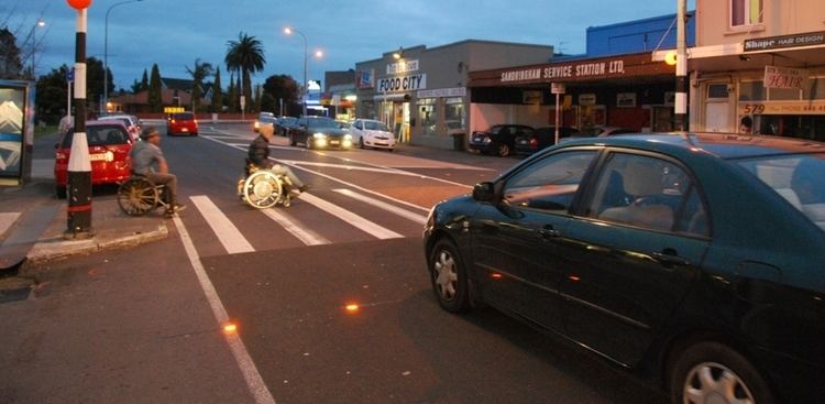
Over the following decades more retail buildings were constructed. Large-scale subdivision of farmland began in the 1920s, and Californian bungalows began to dominate the architecture of the area. Around 1927, the Mayfair Cinema was built, an elegant building in the Neo-Greek style; it was demolished in the early 1990s. The Sandringham Service Station, still operating in 2011, was first erected by Sydney Waring in 1929.
After the Second World War, what little remained of the farmland was developed as state housing. Sandringham Village is a virtually intact example of an interwar suburban shopping precinct.
As part of the Eden electorate, Sandringham became a no-licence area from 1909 until 2000, meaning that alcohol could not be sold. As a result, there are no public houses in Sandringham. Plans to build a tavern at 597 Sandringham Road were successfully opposed by residents in 2001.
Local Government
Sandringham falls within the Mt Albert constituency for the national Parliament. In terms of local government, Sandringham comes under the Albert-Eden Local Board, of Auckland Council. The Albert-Eden Local Board includes the suburbs of Waterview, Point Chevalier, Sandringham, Mount Albert, Morningside, Owairaka, Balmoral, Kingsland, Mount Eden, Epsom and Greenlane.
Transportation
Public transportation extended from the inner city to the surrounding areas in the late 1870s and early 1880s with horse-drawn buses being the first mode of regular public transportation in the late 1870s. At the beginning of the 20th century, trams began connecting Mt. Eden, Balmoral, Kingsland, and Mt Albert with the city. The trams ran for the last time in the 1950s.
Landmarks
Sports
Sandringham is home to Eden Rugby Football Club and the Mt Albert Ramblers softball club. Edendale Reserve has a playing field for amateur sport.
Association football
Sandringham is home to the top New Zealand association football club Central United who compete in the Lotto Sport Italia NRFL Premier.
Transport
Sandringham is well served by south bound buses, and is only 7 km from Auckland’s CBD. The centre of all the shopping and business activities in Sandringham village is along Sandringham Road, roughly between Halesowen Avenue and Lambeth Road. By vehicle Sandringham can be accessed from the North Western Motorway (SH16) via St Lukes Road.