
Postcode(s) 5255 Elevation 43 m | LGA(s) Alexandrina Council Sandergrove Angas Plains Postal code 5255 | |
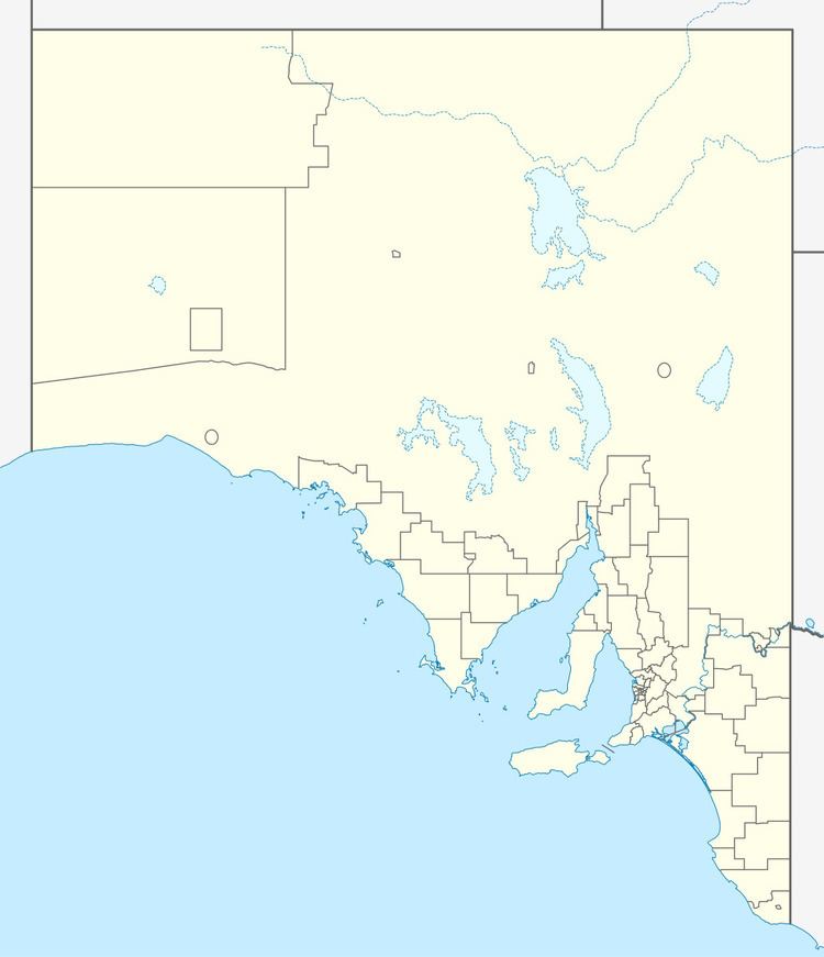 | ||
Location 9 km (6 mi) S of Strathalbyn | ||
Sandergrove is a locality in the Australian state of South Australia located about 9km south of Strathalbyn. It was a junction on the Victor Harbor railway line, where the Milang railway line branched off. The railway was authorised in 1881 and closed in 1970.
Contents
Map of Sandergrove SA 5255, Australia
Sandergrove is at the northwestern end of the Nurragi Conservation Reserve.
History
In 1863, the Strathalbyn Methodist circuit included a church at Sandergrove. It still existed in 1900, but it was not part of the circuit by 1963. The Sandergrove Primary School opened in 1923, but has since closed.
References
Sandergrove, South Australia Wikipedia(Text) CC BY-SA