
Location Antarctica | Elevation 3,053 m | |
 | ||
People also search for Mount Dallmann, Gessner Peak, Mühlig-Hofmann Mountains, Borg Massif | ||
Sandeggtind Peak is a 3,055 metres (10,023 ft) tall peak, standing 1.5 km (1 mi) south of Sandho Heights on Sandegga Ridge in the Conrad Mountains, Queen Maud Land. It was discovered and photographed by the Third German Antarctic Expedition (1938–1939), led by Capt. Alfred Ritscher. It was mapped by Norway from air photos and surveys by NorAE, 1956–60, and named Sandeggtind (sand ridge peak).
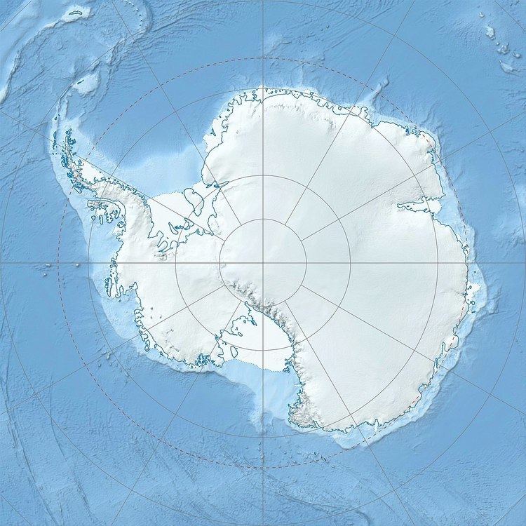
Map of Sandeggtind Peak, Antarctica
References
Sandeggtind Peak Wikipedia(Text) CC BY-SA