
Time zone WAT (UTC+1) Area 1,418 km² | LGA 1996 3-digit postal code prefix 824 Local time Tuesday 9:58 AM | |
 | ||
Weather 32°C, Wind E at 19 km/h, 11% Humidity | ||
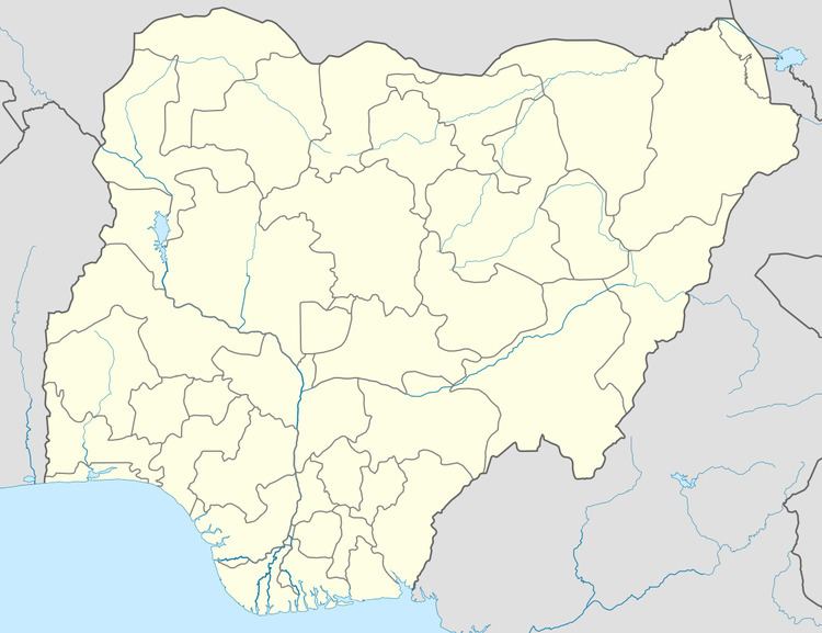
Sandamu is a Local Government Area in Katsina State, Nigeria. Its headquarters are in the town of Sandamu on the A2 highway in the north of the area at12°57′37″N 8°21′44″E.
Map of Sandamu, Nigeria
It has an area of 1418 km² and a population of 137,287 at the 2006 census.
The postal code of the area is 824.
References
Sandamu Wikipedia(Text) CC BY-SA