Suvarna Garge (Editor)

Sand Mountain (Nevada)

Updated on
Edit
Like
Comment
Share on FacebookTweet on TwitterShare on LinkedInShare on Reddit
Topo map
  
USGS Fourmile Flat

Reference no.
  
10

Sand Mountain (Nevada) httpsuploadwikimediaorgwikipediacommonsdd

Location
  
Churchill County, Nevada, United States

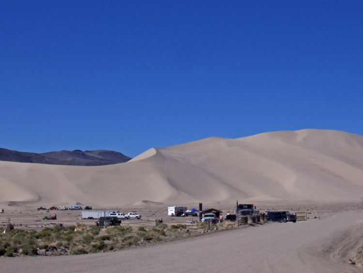
Sand Mountain is a singing sand dune 20 miles (32 km) east of Fallon, Nevada along U.S. Route 50. The dune is two miles long and 600 feet (180 m) high. The sand originates from the ancient Lake Lahontan, that for the most part dried up 9,000 years ago. Sand Mountain Recreation Area is managed by the Bureau of Land Management and is open to off-highway vehicle use. The area is also the only home of the "critically imperiled" Sand Mountain blue butterfly. The ruins of the Sand Springs Station of the Pony Express are also located within the recreation area.

Map of Sand Mountain, Nevada, USA

Off highway vehicle rules
  • Camp only in designated areas.
  • 8 ft. whip flags are required on all vehicles riding in the dunes.
  • Do not burn wood containing nails, screws or other metal hardware.
  • Burning tires is prohibited.
  • Speed limit is 15 miles per hour (24 km/h) in camping areas.
  • Possession or use of any glass cup or bottle is not allowed.
  • Users must pay an area fee of $90 per year or $40 per week collected by the Bureau of Land Management.
  • Avoid riding in areas closed to motor vehicles.
  • References

    Sand Mountain (Nevada) Wikipedia