
Time zone CET (UTC+1) Area 7.48 km² Population 471 (2004) | Postal code 8824 Local time Tuesday 9:41 AM Area code 93 | |
 | ||
Weather 16°C, Wind NE at 0 km/h, 64% Humidity | ||
Sand is a village in Zala County, Hungary. It is a very small agricultural town, located on gently rolling hills. There is an Evangelical church and a Catholic church near the center of town, and there are memorials to those who served in both world wars nearby. Sand is close to the towns of Csurgo, Iharosbereny, and Lizso, and the largest town nearby is Nagykanizsa.
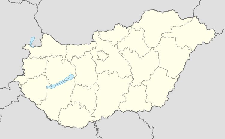
Map of Sand, Hungary
References
Sand, Hungary Wikipedia(Text) CC BY-SA