
Country Turkey Time zone EET (UTC+2) Licence plate 35 Area code 0232 | District Karşıyaka Postal code 35510 Elevation 365 m Province İzmir Province | |
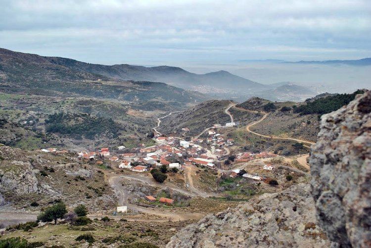 | ||
Sancaklı is a village in Karşıyaka district of İzmir Province, Turkey. (Karşıyaka is an intracity district of İzmir.) Sancaklı is situated to the north of İzmir at 38°31′N 27°09′E and to the south of Yamanlar Mountain. Distance to Karşıyaka is 7 kilometres (4.3 mi). The population of the village is 147 as of 2011. Main economic activity of the village is animal breeding and dairying . Beekeeping is also promoted.
Map of Sancakl%C4%B1, Sancakl%C4%B1 Mahallesi, 35580 Kar%C5%9F%C4%B1yaka%2F%C4%B0zmir, Turkey
References
Sancaklı, İzmir Wikipedia(Text) CC BY-SA