
Country United States Time zone Eastern (EST) (UTC-5) Elevation 177 m Population 1,056 (2010) | ZIP code 03872 Area 4.1 km² Local time Tuesday 3:07 AM | |
 | ||
Weather 1°C, Wind W at 5 km/h, 55% Humidity | ||
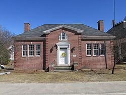
Sanbornville is a census-designated place in the town of Wakefield in Carroll County, New Hampshire. It had a population of 1,056 at the 2010 census.
Map of Sanbornville, Wakefield, NH 03872, USA
The village is along New Hampshire Route 153 between its intersections with Route 125 and Route 16. It lies at the outlet of Lovell Lake.
References
Sanbornville, New Hampshire Wikipedia(Text) CC BY-SA