
Existed: 1993 – present Length 7.9 km | South end: Kam Tin (near Au Tau) Constructed 1993 | |
 | ||
North end: San Tin (near Chau Tau) | ||
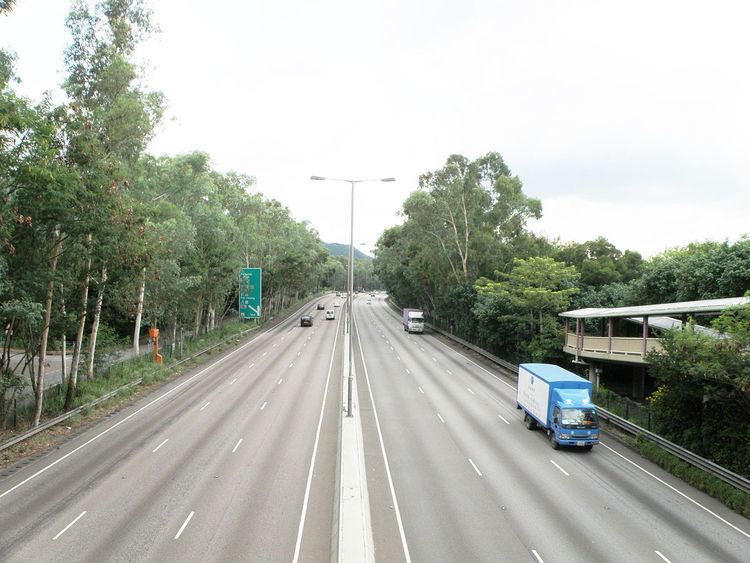
San Tin Highway (Chinese: 新田公路; pinyin: Xīntián Gōnglù; Cantonese Yale: san1 tin4 gung1 lou6) is an expressway in North-Western New Territories of Hong Kong, leading off Fanling Highway near the rural village of San Tin and connects the Tsing Long Highway and the Yuen Long Highway north of Au Tau, near the new town of Yuen Long. It is also part of Route 9. The road was completed between 1991 and 1993. The speed limit of the expressway is 100 km/h.
Map of San Tin Hwy, Hong Kong
The intersection between San Tin Highway and Fanling Highway is the San Tin Interchange which joins the Sam Sham Road to Lok Ma Chau. It connects to the third vehicle cross-boundary facility between Hong Kong and Shenzhen. Two bypasses were built here specially for lorries and goods vehicles so they did not need to use the roundabout. They opened on 27 May 2007. Before their construction, the vast amount of lorries and goods vehicles using the roundabout cause serious traffic congestion, on San Sham Road and occasionally on San Tin Highway.
Before the completion of Tsing Long Highway, the southern end of the Highway connected to Castle Peak Road and Au Tau Interchange. When Tsing Long Highway was opened in 1998, San Tin Highway was connected to it, thus linking up with Tai Lam Tunnel and Yuen Long Highway. The interchange near Fairview Park is the roundabout which has the most exits in Hong Kong. It has 7 entrances and exits which lead to: