
Country United States Area code Area code 480 | Population 81,321 (1 Apr 2010) | |
 | ||
Time zone Mountain (MST) (no daylight saving time) (UTC-7) Neighborhoods Johnson Ranch, San Tan Heights | ||
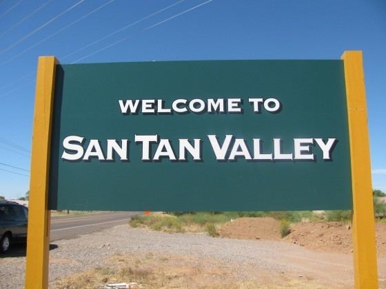
San Tan Valley is a census-designated place in northern Pinal County, Arizona. It is a bedroom community located in the Phoenix metropolitan area's southeastern suburbs. As of the census of 2010, the population of San Tan Valley was 81,321.
Contents
- Map of San Tan Valley AZ USA
- History
- Geography
- Demographics
- Education
- Emergency Services
- In popular culture
- References
Map of San Tan Valley, AZ, USA
History
San Tan Valley derives its name from the nearby San Tan Mountains. The origin of the name San Tan is disputed, with suggestions ranging from a corruption of the name Santa Ana to the last name of George Santan, prior postmaster in nearby Gila County. Previously referred to as San Tan Heights, San Tan Foothills, Greater San Tan and simply the San Tan Area, the community lacked any official name and residents used nearby Queen Creek for their mailing addresses. To coincide with the addition of a new ZIP code for the community on July 1, 2009, the United States Postal Service was petitioned to provide the area with a new name. As part of the initial request, "Bella Vista" name was submitted to the postal service, but some local residents opposed the suggested name. In response, the Greater San Tan Area Coalition organized a non-binding vote on June 23, offering residents the opportunity to vote on a name for the community.
The area, which had consisted primarily of undeveloped desert and agriculture prior to 2000, experienced considerable growth in the early part of the decade. As early as 2004, attempts to incorporate the area were underway. An initial attempt, which proposed a name of simply "San Tan" for the area, was blocked by the neighboring town of Florence after rural residents there expressed concern that allowing incorporation would accelerate the urbanization of the area. A subsequent effort in 2005 failed to gain traction. Following the renaming of the area in 2009, a renewed effort at incorporation sought to put the issue to a vote in 2010, this time with the support of Pinal County. The Town Council of Florence unanimously rejected a resolution that would have approved San Tan Valley's proposed boundaries over concerns of their allotment of state shared revenue.
Geography
San Tan Valley is located at 33°10′13″N 111°34′20″W (33.170462, -111.572170).
San Tan Valley is located in the unincorporated area between the towns of Queen Creek to the north and west, and Florence to the south. The area is also bound by the San Tan Mountains Regional Park on the west and the Gila River Indian Community on the southwest. The area consists largely of master planned communities, such as Johnson Ranch, Ironwood Crossing, Pecan Creek South, Morning Sun Farms, San Tan Heights, Skyline Ranch, Copper Basin and Circle Cross Ranch.
Situated east of the San Tan Mountains, the community is located in the Sonoran Desert. As such, it experiences the hot, arid summers and moderate winters that typify the area.
Demographics
In 2010 San Tan Valley had a population of 81,321. The racial and ethnic composition of the population was 66.2% non-Hispanic white, 23.4% Hispanic or Latino, 5.0% black or African American, 2.1% Asian, 1.2% Native American, 0.3% Pacific Islander, and 0.2% non-Hispanic reporting some other race.
Education
San Tan Valley is serviced by the following school districts. Each district has its own high school located within San Tan Valley:
Emergency Services
Pinal County Sheriff's Office Rural Metro Fire