
Elevation 220 m Population 33,682 (2005) | Area 331.7 km² Local time Monday 9:37 PM | |
 | ||
Time zone Central Standard Time (UTC-6) Weather 23°C, Wind NW at 5 km/h, 79% Humidity Points of interest Puerto Angelito, Omar's Sportfishing, Playa Bacocho, Roca Blanca | ||
Bertin y su condesa en san pedro mixtepec juquila oax 2015
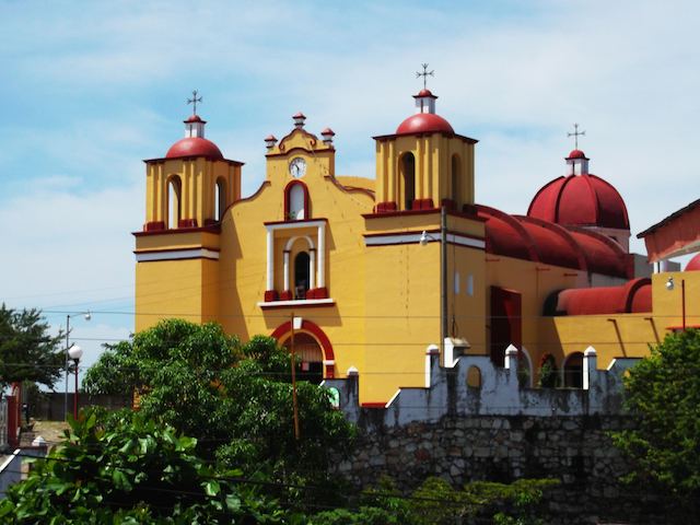
San Pedro Mixtepec is a town and municipality in Oaxaca in south-western Mexico. It is part of the Juquila District in the center of the Costa Region.
Contents
- Bertin y su condesa en san pedro mixtepec juquila oax 2015
- Map of San Pedro Mixtepec Oaxaca Mexico
- Proyecto de aves de corral en el municipio de san pedro mixtepec juquila oaxaca
- References
Map of San Pedro Mixtepec, Oaxaca, Mexico
The municipality covers an area of 331.71 km² at an average altitude of 220 meters above sea level on the Pacific coast of Oaxaca. The climate is warm and humid. Flora is diverse, including tulips, roses, bougainvillea, cempaxóchitl, rose garden, lemon blossoms, noon platanillo, prickly pear, cedar, macuil, huanacaxtle, mahogany and palm Fruit trees include mango, banana, mamey sapote, sapodilla, coconut, lemon, rtamarindo, almond, orange and lemon lime.
As of 2005, the municipality had 7,881 households with a total population of 33,682 of whom 919 spoke an indigenous language. 40% of the population of the municipality is engaged in agriculture, and 20% in animal husbandry. Tourism employs 20% of the population in the port and tourist center of Puerto Escondido and the nearby Bajos de Chila.