
Country Philippines Urban District I Time zone PST (UTC+8) Municipality Ubay, Bohol | District 2nd District of Bohol Purok 7 Province Bohol | |
 | ||
Region Central Visayas Region VII | ||
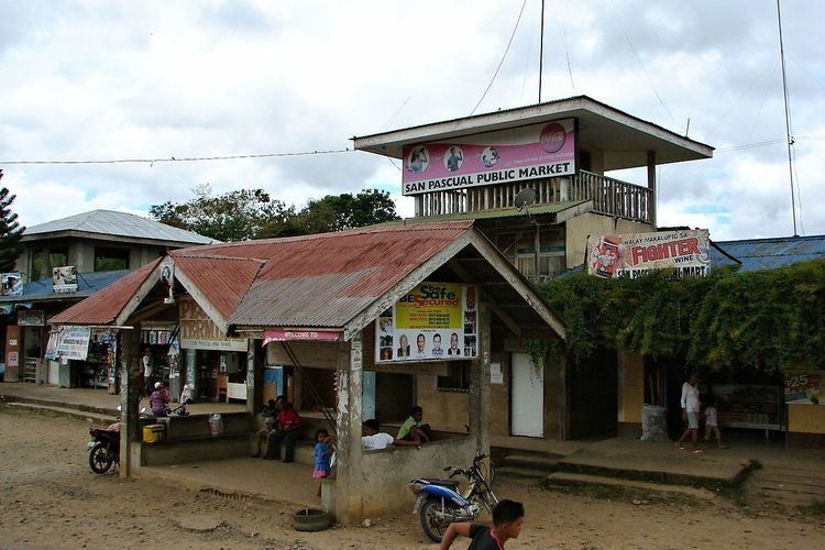
San Pascual is one of the 44 barangays of the municipality of Ubay, in the province of Bohol, Philippines.
Contents
- Map of San Pascual Bohol Philippines
- Location
- Proposed conversion to a municipality
- Economy
- Government
- Facilities and Services
- References
Map of San Pascual, Bohol, Philippines
The barangay's total land area is 973 hectares (2,400 acres). According to the 2015 census, it has a population of 3,783. In the 2013 electoral roll, it had 1,964 registered voters, meaning that 52% of the population are aged 18 and over.
San Pascual celebrates its annual fiesta on the last Saturday of April.
Location
Located on the southern part of the municipality, San Pascual is bounded to the north by Lomangog and Imelda, to the east by Biabas, to the west by Bulilis and Gabi, and to the south by the municipality of Alicia. San Pascual is 12 km (7.5 mi) from the town center, Poblacion.
Proposed conversion to a municipality
In 1990, a House Bill was introduced into Congress, for the conversion of San Pascual into a municipality, but never progressed but did not realized because it was opposed because there had been no consultation of the administration of Ubay.
Economy
People in the barangay are mostly farmers who live by planting rice, corn, coconut, banana, vegetables, coffee, cacao, fruit trees, and root crops. Some till agricultural smallholdings.
Government
There are seven puroks overseen by the elected kagawads.
Facilities and Services
The barangay has two high schools:
Other barangay facilities are: