
Country Area 2.634 sq mi Mayor Genoveva Garcia Calloway | Population 29,685 (2013) | |
 | ||
Unemployment rate 8.2% (Feb 2015) | ||
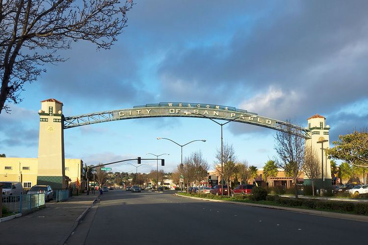
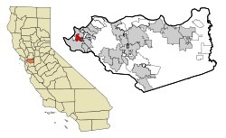
Map of San Pablo, California
San Pablo (pronounced San PAB-low or San POB-low) is a city in Contra Costa County, California, United States. The city of Richmond surrounds nearly the whole city. The population was 29,139 at the 2010 census. The current Mayor is Cecilia Valdez. Current Council members include Paul Morris and Rich Kinney.
Contents
- Map of San Pablo California
- Holiday inn express suites san pablorichmond area san pablo ca
- History
- Geography
- Top employers
- 2010
- 2000
- Transportation
- Education
- Notable people
- References
Holiday inn express & suites san pablorichmond area san pablo, ca
History
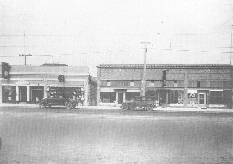
The area in which today's San Pablo is situated was originally occupied by the Cuchiyun band of the Ohlone indigenous people. The area was claimed for the king of Spain in the late 18th century and was granted for grazing purposes to the Mission Dolores located in today's San Francisco. Upon Mexico's independence from Spain, church properties were secularized and in 1823, the area became part of a large grant to an ex-soldier stationed at the San Francisco Presidio, Francisco María Castro. The grant was given the name Rancho San Pablo, thus originating the name for today's city as well as for one of the East Bay's oldest principal roads, today's San Pablo Avenue (called in the prior Spanish era "El Camino Real de la Contra Costa").
A historic reproduction of the city's Mexican era is designated as a California State Landmark (No.512): the Alvarado Adobe, originally constructed in 1842 by one of Francisco Castro's sons, Jesús María Castro, for his mother, Gabriéla Berryessa de Castro. Upon Gabriéla's death in 1851, it was inherited by her daughter, Martina Castro de Alvarado, wife of Juan Bautista Alvarado, who was Governor of California from 1836 to 1842. The Alvarado Adobe was demolished in the mid-20th century to make way for a motel. A reproduction was built later in the century which is located in the San Pablo Civic Center on the northwest corner of San Pablo Avenue and Church Lane. A single beam from the original structure is incorporated into the roof of the replacement structure, at the rear of the adobe facing the interior courtyard.
The first post office was established in 1854. The city incorporated in 1948.
Since the middle of the 20th Century College Center at El Portal has been the backbone of the community's retail economy.
Geography

According to the United States Census Bureau, the city has a total area of 2.6 square miles (6.7 km2), all land.
San Pablo lies on a sedimentary plain between the northern end of the Berkeley Hills and San Pablo Bay, although the city limits do not extend to the bayshore. The city is traversed by two principal creeks, Wildcat Creek and San Pablo Creek, both of which originate in the ranges to its southeast. The minor Rheem Creek also runs through the city. It is also traversed along its northeast limits by the Hayward Fault, a major branch of the San Andreas Fault which lies to the west.
Interstate 80 (Eastshore Freeway) passes through San Pablo.
There are several communities to the north of the City and separated from the City, but which have San Pablo, California mailing addresses. These include the census areas of Tara Hills, Bayview, and Montalvin.
Top employers
According to the City's 2010 Comprehensive Annual Financial Report, the top employers in the city are:
The Casino San Pablo is considered the economic backbone of the city.
2010
The 2010 United States Census reported that San Pablo had a population of 29,139. The population density was 11,063.4 people per square mile (4,271.6/km²). The racial makeup of San Pablo was 9,391 (32.2%) White, 4,600 (15.8%) African American, 244 (0.8%) Native American, 4,353 (14.9%) Asian, 172 (0.6%) Pacific Islander, 8,812 (30.2%) from other races, and 1,567 (5.4%) from two or more races. Hispanic or Latino of any race were 16,462 persons (56.5%).
The Census reported that 28,698 people (98.5% of the population) lived in households, 68 (0.2%) lived in non-institutionalized group quarters, and 373 (1.3%) were institutionalized.
There were 8,761 households, out of which 4,099 (46.8%) had children under the age of 18 living in them, 3,905 (44.6%) were opposite-sex married couples living together, 1,715 (19.6%) had a female householder with no husband present, 738 (8.4%) had a male householder with no wife present. There were 638 (7.3%) unmarried opposite-sex partnerships, and 59 (0.7%) same-sex married couples or partnerships. 1,854 households (21.2%) were made up of individuals and 638 (7.3%) had someone living alone who was 65 years of age or older. The average household size was 3.28. There were 6,358 families (72.6% of all households); the average family size was 3.83.
The population was spread out with 8,244 people (28.3%) under the age of 18, 3,233 people (11.1%) aged 18 to 24, 8,734 people (30.0%) aged 25 to 44, 6,364 people (21.8%) aged 45 to 64, and 2,564 people (8.8%) who were 65 years of age or older. The median age was 31.6 years. For every 100 females there were 98.8 males. For every 100 females age 18 and over, there were 96.1 males.
There were 9,571 housing units at an average density of 3,633.9 per square mile (1,403.0/km²), of which 4,110 (46.9%) were owner-occupied, and 4,651 (53.1%) were occupied by renters. The homeowner vacancy rate was 3.1%; the rental vacancy rate was 8.3%. 13,903 people (47.7% of the population) lived in owner-occupied housing units and 14,795 people (50.8%) lived in rental housing units.
2000
As of the census of 2000, there were 30,215 people, 9,051 households, and 6,489 families residing in the city. The population density was 4,521.7/km² (11,726.9/mi²). There were 9,340 housing units at an average density of 1,397.7/km² (3,625.0/mi²). The racial makeup of the city was 31.62% White, 18.33% Black or African American, 0.90% Native American, 16.37% Asian, 0.51% Pacific Islander, 25.44% from other races, and 6.83% from two or more races. 44.65% of the population were Hispanic or Latino of any race.
Of the 9,051 households, 44.0% had children under the age of 18 living with them, 44.5% were married couples living together, 19.7% had a female householder with no husband present, and 28.3% were non-families. 22.5% of all households were made up of individuals and 8.1% had someone living alone who was 65 years of age or older. The average household size was 3.29 and the average family size was 3.87.
In the city, the population was spread out with 31.7% under the age of 18, 10.9% from 18 to 24, 31.8% from 25 to 44, 16.9% from 45 to 64, and 8.7% who were 65 years of age or older. The median age was 30 years. For every 100 females there were 96.5 males. For every 100 females age 18 and over, there were 93.3 males.
The median income for a household in the city was $37,184, and the median income for a family was $42,042. Males had a median income of $31,599 versus $28,140 for females. The per capita income for the city was $14,303. About 15.5% of families and 18.1% of the population were below the poverty line, including 23.0% of those under age 18 and 11.5% of those age 65 or over.
The languages spoken were 42.49% English, 40.3% Spanish, 5.47% Tagalog, 2.8% Vietnamese, 2.52% Miao-Mien, 1.95% Laotian, 1.18% Punjabi, 0.92% Portuguese, 0.75% Chinese, 0.57% Hindi, and 0.95% other languages spoken by less than 0.5% of the population each.
Transportation
The community is served by AC Transit buses that connect it with Hilltop Mall Shopping Center, Richmond Parkway Transit Center, and Richmond BART and Amtrak station in Richmond and El Cerrito del Norte BART in El Cerrito. This is in addition to services around San Pablo and to El Sobrante. There is transbay service directly to the San Francisco Transbay Terminal. Owl service to Richmond, Pinole, and El Cerrito. AC also provides school service high and middle schools of the West Contra Costa Unified School District. WestCat provides a link between Contra Costa College and Hercules Transit Center along San Pablo Avenue a major north-south arterial boulevard. San Pablo Avenue is home to a BRT line, the 72R that connects the college with Downtown Oakland and BART. The college services as a major transit hub for buses and the city. Interstate 80 flanks the eastern boundary of the city.
Education
The city hosts the county's western campus of the Contra Costa Community College District. This school is named Contra Costa College and is part of the California community colleges system.
The San Pablo Library of the Contra Costa County Library system is located in Abella Center but will soon be relocated to Church Lane across from the City Hall which is expected to be completed in early 2017.