Time zone CST (UTC-6) Local time Monday 8:25 PM | Postal code 52143 Municipality Metepec | |
 | ||
Weather 14°C, Wind NW at 16 km/h, 32% Humidity | ||
San Miguel Totocuitlapilco in nahuatl ("in the tail of the bird") is a village located inside the Municipality of Metepec. It has a population of 377 and is 2600 meters above sea level.
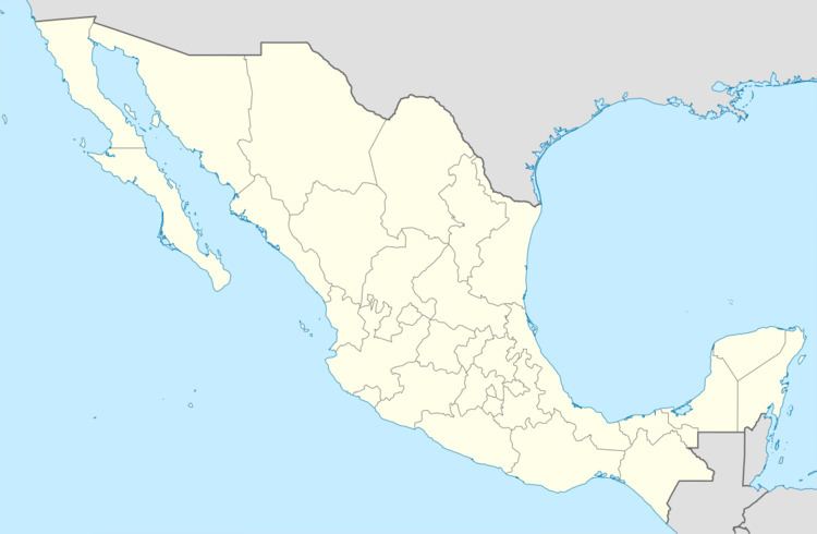
Map of 52143 San Miguel Totocuitlapilco, State of Mexico, Mexico
This place is situated near Toluca, State of Mexico, Mexico, its geographical coordinates are 19° 13' 44" North, 99° 35' 39" West.
References
San Miguel Totocuitlapilco Wikipedia(Text) CC BY-SA
