
Country United States County San Luis Obispo Time zone Pacific (PST) (UTC-8) | State California Elevation 636 ft (194 m) ZIP code 93451 | |
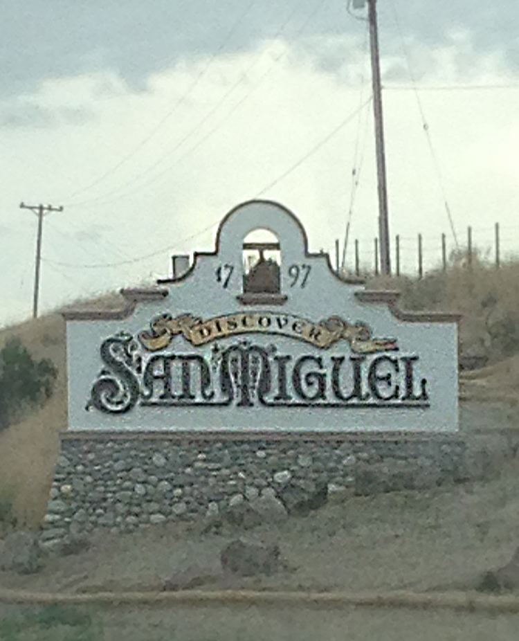 | ||
San Miguel is a census-designated place (CDP) in San Luis Obispo County, California, United States. As of the 2010 census, the population was 2,336, up from 1,427 at the 2000 census.
Contents
Map of San Luis Obispo County, CA, USA
Geography
According to the United States Census Bureau, the CDP has a total area of 1.7 square miles (4.4 km²), all of it land.
2010
The 2010 United States Census reported that San Miguel had a population of 2,336. The population density was 1,369.9 people per square mile (528.9/km²). The racial makeup of San Miguel was 1,638 (70.1%) White, 65 (2.8%) African American, 58 (2.5%) Native American, 19 (0.8%) Asian, 1 (0.0%) Pacific Islander, 474 (20.3%) from other races, and 81 (3.5%) from two or more races. Hispanic or Latino of any race were 1,196 persons (51.2%).
The Census reported that 2,324 people (99.5% of the population) lived in households, 12 (0.5%) lived in non-institutionalized group quarters, and 0 (0%) were institutionalized.
There were 698 households, out of which 358 (51.3%) had children under the age of 18 living in them, 379 (54.3%) were opposite-sex married couples living together, 93 (13.3%) had a female householder with no husband present, 57 (8.2%) had a male householder with no wife present. There were 73 (10.5%) unmarried opposite-sex partnerships, and 8 (1.1%) same-sex married couples or partnerships. 115 households (16.5%) were made up of individuals and 25 (3.6%) had someone living alone who was 65 years of age or older. The average household size was 3.33. There were 529 families (75.8% of all households); the average family size was 3.73.
The population was spread out with 774 people (33.1%) under the age of 18, 262 people (11.2%) aged 18 to 24, 711 people (30.4%) aged 25 to 44, 481 people (20.6%) aged 45 to 64, and 108 people (4.6%) who were 65 years of age or older. The median age was 28.3 years. For every 100 females there were 103.8 males. For every 100 females age 18 and over, there were 101.3 males.
There were 791 housing units at an average density of 463.9 per square mile (179.1/km²), of which 435 (62.3%) were owner-occupied, and 263 (37.7%) were occupied by renters. The homeowner vacancy rate was 3.7%; the rental vacancy rate was 8.0%. 1,399 people (59.9% of the population) lived in owner-occupied housing units and 925 people (39.6%) lived in rental housing units.
2000
As of the census of 2000, there were 1,427 people, 468 households, and 335 families residing in the CDP. The population density was 852.3 people per square mile (329.9/km²). There were 503 housing units at an average density of 300.4 per square mile (116.3/km²). The racial makeup of the CDP was 63.28% White, 1.47% African American, 2.73% Native American, 0.42% Asian, 23.83% from other races, and 8.27% from two or more races. Hispanic or Latino of any race were 32.66% of the population.
There were 468 households out of which 46.6% had children under the age of 18 living with them, 52.4% were married couples living together, 12.2% had a female householder with no husband present, and 28.4% were non-families. 20.1% of all households were made up of individuals and 7.1% had someone living alone who was 65 years of age or older. The average household size was 3.03 and the average family size was 3.53.
In the CDP, the population was spread out with 33.0% under the age of 18, 11.0% from 18 to 24, 32.1% from 25 to 44, 17.6% from 45 to 64, and 6.3% who were 65 years of age or older. The median age was 29 years. For every 100 females there were 104.7 males. For every 100 females age 18 and over, there were 108.3 males.
The median income for a household in the CDP was $33,264, and the median income for a family was $32,847. Males had a median income of $26,216 versus $20,134 for females. The per capita income for the CDP was $15,444. About 6.1% of families and 10.2% of the population were below the poverty line, including 14.5% of those under age 18 and 14.0% of those age 65 or over.
History
San Miguel is home to the Mission San Miguel Arcángel, founded on 25 July 1797. Mission San Miguel Arcángel was founded on July 25, 1797 by the Franciscan order, on a site chosen specifically due to the large number of Salinan Indians that inhabited the area, whom the Spanish priests wanted to evangelize. It is located at 775 Mission Street, San Miguel, California, in San Luis Obispo County. The mission remains in use as a parish church to this day. After being closed to the public for six years due to the 2003 San Simeon earthquake, the church re-opened on December 22, 2009. Inside the church are murals by Esteban Munras. Father Presidente Fermin Francisco de Lasuen founded the mission on July 25, 1797, making it the sixteenth California mission. Its location between Mission San Luis Obispo and Mission San Antonio de Padua provided a stop on the trip that had previously taken two days. In 1803, the mission reported an Indian population of 908, while its lands grazed 809 cattle, 3,223 sheep, 342 horses and 29 mules. That year's harvest included about 2,186 fanegas of wheat and corn (A fanega was about 220 pounds). Most of the mission burned, while still being developed, in 1806. It was rebuilt within a year. On July 15, 1836, the Mexican government secularized mission lands, including Mission San Miguel, and Ygnacio Coronel took charge. In 1846, Governor Pío Pico sold the Mission for $600 to Petronillo Rios and William Reed. Reed used the Mission as a family residence and a store. In 1848, Reed and his family were murdered, leaving the Mission vacant for a period of time. The Mission was a stopping place for miners coming from Los Angeles to San Francisco, and was consequently was used as a saloon, dance hall, storeroom and living quarters.
In 1859, President James Buchanan returned the Mission to the Church. In 1878, after 38 years without a resident padre, Father Philip Farrelly became the "First Pastor" of Mission San Miguel Arcángel. Through all the years the priests kept the church in condition and it is called the best-preserved church in the mission chain today. In 1928, Mission San Miguel Arcángel and Mission San Antonio de Padua were returned to the Franciscan order. Since then, the Mission has been repaired and restored, and has one of the best-preserved interiors (which gives one of the best examples of old mission life). For many years, the Mission served the town as an active parish church of the Diocese of Monterey. Unfortunately, harmonic vibrations from the nearby Union Pacific Railroad main line has weakened the unreinforced masonry structures over the years. The San Simeon Earthquake of December 22, 2003 caused severe damage to the sanctuary at Mission San Miguel. The Catholic Church considered closing the parish due to the extensive damage and the estimated $15 million cost of repair. Work has since been completed and the Mission is to reopen on October 2, 2009. Bells were vitally important to daily life at any mission. The bells were rung at mealtimes, to call the Mission residents to work and to religious services, during births and funerals, to signal the approach of a ship or returning missionary, and at other times; novices were instructed in the intricate rituals associated with the ringing the mission bells.
Government
In the California State Legislature, San Miguel is in the 17th Senate District, represented by Democrat Bill Monning, and in the 35th Assembly District, represented by Republican Jordan Cunningham.
In the United States House of Representatives, San Miguel is in California's 24th congressional district, represented by Democrat Salud Carbajal.
The local government organization is the San Miguel Community Services District (CSD) which was started by Gregory G. Campbell a local resident. Mr. Campbell created the CSD with the help of a petition that included signatures of over 80% of the local voters. The CSD is responsible for providing fresh water, sewer, fire protection and street lighting to the community of San Miguel. While the San Miguel Chamer of Commerce takes care of the downtown and areas of business. With founder Miki sanders and Mike Sanders still on the board of directors there is also president Niki Work and Public Relations Director Sergio Morelli.