Country United States GNIS feature ID 920696 Area 5.926 km² Population 1,153 (2010) | Time zone Mountain (MST) (UTC-7) Elevation 1,165 m Zip code 88058 Area code 575 | |
 | ||
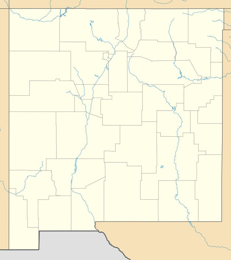
San Miguel is a census-designated place in Doña Ana County, New Mexico, United States. Its population was 1,153 as of the 2010 census. San Miguel has a post office with ZIP code 88058. The community is located at the junction of New Mexico State Road 28 and New Mexico State Road 192.
Contents
Map of San Miguel, NM 88044, USA
Geography
San Miguel is located at 32.153459°N 106.726850°W / 32.153459; -106.726850. According to the U.S. Census Bureau, the community has an area of 2.288 square miles (5.93 km2), all of it land.
Education
The Gadsden Independent School District operates public schools, including North Valley Elementary School.
References
San Miguel, New Mexico Wikipedia(Text) CC BY-SA
