
Founded 21 September 1773 Area 131 km² | Elevation 2,500 m (8,200 ft) Local time Monday 9:00 PM | |
 | ||
Time zone Colombia Standard Time (UTC-5) Weather 12°C, Wind NW at 3 km/h, 81% Humidity | ||
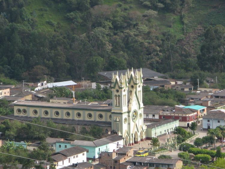
San Mateo is a town and municipality in the Northern Boyacá Province, part of the Colombian department of Boyacá. The urban centre is located at an altitude of 2,500 metres (8,200 ft) in the Eastern Ranges of the Colombian Andes. San Mateo borders Guacamayas, Panqueba and El Cocuy in the east, Boavita in the west, Macaravita, Santander in the north and La Uvita in the south.
Contents
Map of San Mateo, Boyac%C3%A1, Colombia
Etymology
Before 1914, San Mateo was called La Capilla. It received its present name honouring the San Mateo field, where Antonio Ricaurte, hero of the Independence of Colombia gave his life for the fatherland.
History
The history of San Mateo is not well documented. The foundation of the town has been attributed by Ramón Correa to Archbishop of Bogotá Antonio Caballero y Góngora on September 21, 1773, while Caballero was working in Córdoba, Spain. Little data exists in the archives for the tumultuous period of civil wars of the republican era.
The symbol of San Mateo is the typical Colombian fruit chirimoya.
Economy
The economy of San Mateo is centered around agriculture with potatoes, maize, beans, wheat, tobacco, peas, sugarcane and coffee as main products cultivated. The municipality also has livestock farming and mining activities of sand, gravel and carbon.