
Established 1909 Time zone PST (UTC+8) Local time Tuesday 8:58 AM | District 1st District Barangays Area 42.1 km² | |
 | ||
Weather 28°C, Wind S at 3 km/h, 59% Humidity | ||
Masinag 1cv juanito rama corn farmer san manuel tarlac
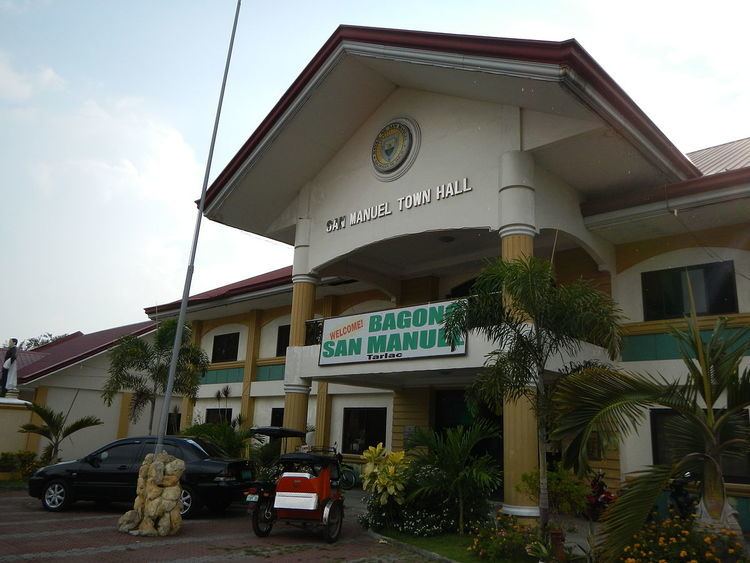
San Manuel (Ilocano: Ili ti San Manuel; Pangasinan: Baley na San Manuel; Kapampangan: Balen ning San Manuel) is a fourth class municipality in the province of Tarlac, Philippines. According to the 2015 census, it has a population of 25,504 people.
Contents
- Masinag 1cv juanito rama corn farmer san manuel tarlac
- Map of San Manuel Tarlac Philippines
- Vacation 2011 san manuel tarlac flv
- Barangays
- History
- Demographics
- References
Map of San Manuel, Tarlac, Philippines
The town of San Manuel is a typically rustic community located at the northernmost horn of the Province of Tarlac. Heading north along the main National Highway going to the general direction of Baguio City and Ilocos Region, it is the last town of Tarlac before entering the town of Rosales of the province of Pangasinan. The Province of Nueva Ecija borders it on the east while the southern side are the municipalities of Anao and Moncada. Ilocano, Kapampangan and Pangasinan are commonly spoken, with Tagalog and English as official languages used for secondary education, business and governance. The municipality is known for their Buridibud (kind of vegetable stew) festival.
Vacation 2011 san manuel tarlac flv
Barangays
San Manuel is politically subdivided into 15 barangays.
History
When the prosperous barrio of San Jose was separated from the town of Moncada to be proclaimed a sister municipality 1909, the inhabitants were jubilant and graceful. They renamed it “San Manuel” in honor of their benefactor, the late Don Manuel de Leon, who lost no time in sponsoring its creation.
San Manuel was, as other developing town, originally covered with dense forest, lakes and creeks. Wild animals roamed into the wilderness. Adventurous people from Zambales and Pangasinan and later those from the Ilocos region settled into the area to start a new life. Clearing the area with crude implements, they planted corn and upland rice supplementing daily food with meat from deer and wild hogs caught from the nearby forest.
Formerly, the residents of this barrio did not know which jurisdiction they belonged. There are four towns surrounding the area namely: Moncada in the south; Anao and Cuyapo in the east and Alcala in the north. Neither of these duly organized municipalities claimed the sprawling area. However, an incident in the barrio helped the people solved the “jurisdiction” problem. A man gathering bees fell from the tree and died. The people immediately reported the incident to the nearby localities but only the Moncada authorities came and investigated the incident. Spurred by the gestures of the people of that town, they joined and submitted themselves under their jurisdiction and finally became an integral part of Moncada.
Demographics
In the 2015 census, the population of San Manuel, Tarlac, was 25,504 people, with a density of 610 inhabitants per square kilometre or 1,600 inhabitants per square mile.