Area 91.86 km² Population 4,154 (2005) | Local time Monday 5:35 PM | |
 | ||
Time zone Central Standard Time (UTC-6) Weather 16°C, Wind S at 11 km/h, 72% Humidity | ||
San Juan Quiahije is a town and municipality in Oaxaca in south-western Mexico. It is part of the Juquila District in the centre of the Costa Region. Quiahije means "Stone Forest" in the Zapotec language.
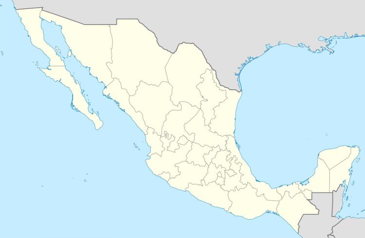
Map of San Juan Quiahije, Oaxaca, Mexico
The municipality covers an area of 91.86 km² at an altitude of 1,960 metres above sea level. The climate is temperate humid with an average temperature of 16.4°C and annual rainfall of 847 mm. The forests contain pines and oaks. Wild fauna include deer, rabbits. iguanas, armadillos, squirrels, badgers, raccoons, wild boars, skunks, wildcats, foxes and coyotes.
As of 2005, the municipality had 593 households with a total population of 4154 of whom 3.517 people spoke an indigenous language. Economic activities include farming, animal husbandry and trade. Quiahije is one of the centers of the Chatino people, related to the Zapotec but with a distinct language.
