
Foundation 1901 Area 53.6 km² | Elevation 1,710 m Local time Monday 6:05 PM | |
 | ||
Weather 21°C, Wind NW at 11 km/h, 75% Humidity | ||
San José is a town and municipality located in the western portion of the Colombian Department of Caldas. It was originally part of Risaralda Municipality until 1997, when it became an independent municipality within the Caldas Department. The municipality is part of the Lower Western District, 67 km from Manizales. Its name derives from the arrival of the founders on the day of Saint Joseph, March 19.
Contents
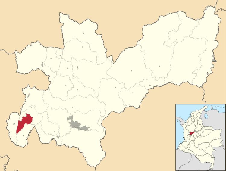
Map of San Jos%C3%A9, Caldas, Colombia
The municipality is divided into 18 minor counties or veredas: Altomira, La Paz, Los Caimos, El Contento, Tamboral, Arrayanes, El Bosque, Morroazul, La Primavera, La Libertad, La Cienaga, La Estrella, Guaimaral, Vaticano, El Pacifico, La Morelia, Pueblo Rico and Buena Vista.
Tourism
Borders
Rivers
References
San José, Caldas Wikipedia(Text) CC BY-SA