
Time zone UTC -3 Population 502 (2011) | Dial plan +598 436 (+5 digits) Local time Monday 7:27 PM | |
 | ||
Weather 21°C, Wind E at 16 km/h, 72% Humidity | ||
San Jorge is a village or populated centre in the Durazno Department of central Uruguay.
Contents
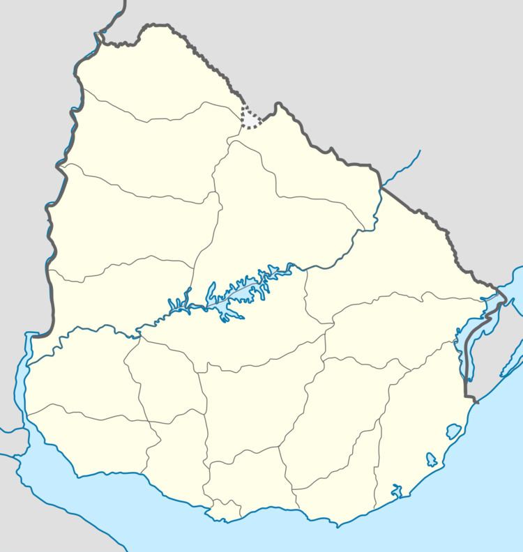
Map of San Jorge, Durazno Department, Uruguay
Location
The village is located on Route 100, about 76 kilometres (47 mi) northeast of its junction with Route 14 and 76 kilometres (47 mi) northeast of the department capital city of Durazno.
Geography
The artificial lake Lago Rincón del Bonete is 13 kilometres (8.1 mi) north of the village and the stream Arroyo Chileno 13 kilometres (8.1 mi) to the east. This stream flows in a wide vale that floods when the lake has high waters. Because of this, the circumventing road connecting the village with its nearby town of Blanquillo is about 56 kilometres (35 mi) long. The nearest populated place to San Jorge is the village Aguas Buenas, 7 kilometres (4.3 mi) to the southeast.
Population
In 2011 San Jorge had a population of 502.
Source: Instituto Nacional de Estadística de Uruguay