
Elevation 142 m | Local time Monday 6:24 PM | |
 | ||
Weather 28°C, Wind S at 8 km/h, 81% Humidity | ||
San Joaquín is a small agricultural town in the Beni Department in the Bolivian lowlands.
Contents
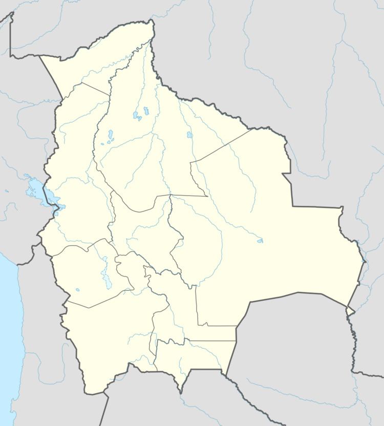
Map of San Joaquin, Bolivia
Location
San Joaquín is the administrative capital of Mamoré Province and is situated at an elevation of 142 m above sea level at Río Machupo, which flows to Río Iténez. San Joaquín is located 220 km north of Trinidad, the department's capital.
Geography
San Joaquín is located in the Moxos Plains (Llanos de Moxos), at 100,000 km² one of the greatest wetlands of the Earth. Main vegetation in the area of San Joaquín is the tropical savanna. The yearly precipitation of the region is 1,600 mm, with a distinct dry season from May to September. Monthly average temperatures vary from 24 °C und 29 °C over the year.
Population
Over the past two decades, the town's population has risen by circa 30%, from 3,489 (census 1992) to 4,094 (census 2001) and 4,589 (2009 estimate). San Joaquin has been the site of a Machupo virus or Bolivian Hemorragic Fever outbreak in the 1960s.