
Time zone CET (UTC+1) | Autonomous Community Region of Murcia Elevation(AMSL) 4 m (13 ft) Postal code 30730 Population 31,988 (2014) | |
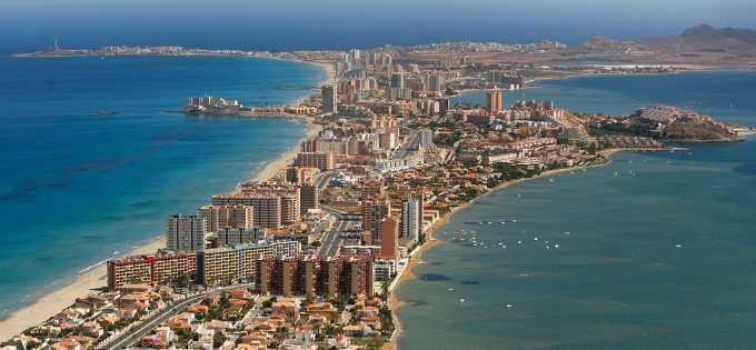 | ||
Weather 16°C, Wind W at 5 km/h, 86% Humidity Points of interest La Manga, Mar Menor, Playa de Colón, Museo de San Javier, Faro del Estacio | ||
San Javier is a small town and municipality in the autonomous community and province of Murcia in southeastern Spain. The municipality is situated at the northern end of Murcia's Mediterranean coastline, the Costa Cálida. It is best known for its international airport located there, Murcia-San Javier Airport (MJV), which is the largest in the Region of Murcia.
Contents
Map of San Javier, Murcia, Spain
Administrative divisions
The town has a main population centre and ten smaller villages within its administrative perimetre. The last two are located by the seashore:
Aerodrome
A military aerodrome was built in Santiago de la Ribera before the Spanish Civil War. It was used by the Spanish Republican Air Force for its bomber (Escuela de Vuelo de Alta Velocidad) and multiple-engined aircraft school (Escuela de polimotores) facilities training military pilots.
After the Civil War the airfield was used by the Spanish Air Force as an eventual landing facility. Currently it is the location of the international airport, the largest in the Region of Murcia.