
Country Argentina Area code(s) +54 11 Local time Saturday 12:14 PM Partido San Fernando Partido | CPA Base B 1646 Province Buenos Aires Province Number of airports 1 | |
 | ||
Weather 24°C, Wind NE at 23 km/h, 61% Humidity | ||
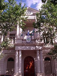
San Fernando de la Buena Vista is a city in the Gran Buenos Aires, in Argentina, and capital of the San Fernando Partido, 20 km (12 mi) north of the city of Buenos Aires.
Contents
- Map of San Fernando Buenos Aires Province Argentina
- Geographic Data
- Surface area
- Distances
- Population
- Population by localities
- Education
- References
Map of San Fernando, Buenos Aires Province, Argentina
Geographic Data
Located in the northern area of Gran Buenos Aires, San Fernando is composed of two clearly differentiated areas: a densely populated mainland section, with predominance of industrial, commercial and service areas; and a section of Islands of the Paraná Delta of 950 km2 (370 sq mi). It is the nautical capital of Argentina. The city is bordered by San Isidro and Tigre. Its continental area is composed of the towns of Virreyes, San Fernando and Victoria. The rest of his jurisdiction comprises the second and third sections of the Paraná Delta Islands.
Surface area
Distances
Population
Population by localities
Education
Buenos Aires International Christian Academy, An only English Christian International school in Argentina, is located in San Fernando.