
Elevation 614 m | Climate Am Local time Saturday 9:05 AM | |
 | ||
Weather 26°C, Wind E at 0 km/h, 69% Humidity | ||
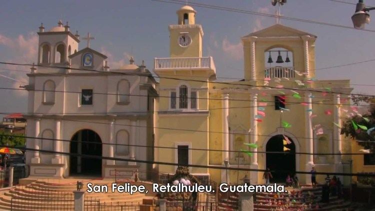
San Felipe is a municipality in Retalhuleu Department, situated on the road to Quetzaltenango between El Palmar, Quetzaltenango to the north-west and San Martin Zapotitlan to the south side.
Contents
Map of San Felipe, Guatemala
Geography
Geographically, the municipality of San Felipe, Retalhuleu comprises the northern tip of the department of Retalhuleu (borders to the west with department of Quetzaltenango and to the east with the Suchitepéquez Department). Of the population, many people lives in the rural areas, namely Canton Francisco Vela, Canton Tierra Colorada and Aldea El Palmarcito among others.
Barrios
- El Centro
- La Linterna
- La Llovizna
- La Piedad 1
- La Piedad 2
- Camilo Alvarado
- El Jardincito
- El Campo
- Colonia El Esfuerzo
- Colonia Fegua
- El Condado San Felipe
- Residenciales La Perla
- Residenciales La Cachita
- Residenciales Bella Julia
References
San Felipe, Retalhuleu Wikipedia(Text) CC BY-SA