
Elevation 1,700 m (5,590 ft) Founded 1715 Population 3,978 (2005) | Area 96.96 km² Local time Saturday 7:44 AM | |
 | ||
Time zone Central Standard Time (UTC-6) Weather 17°C, Wind SW at 6 km/h, 43% Humidity | ||
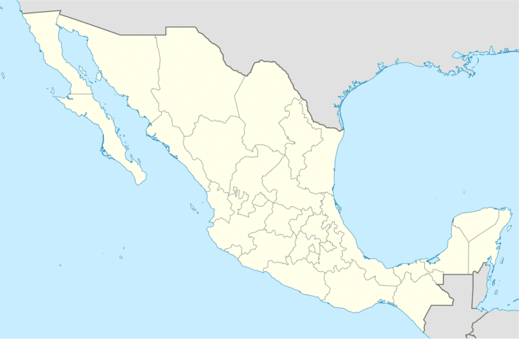
San Cristóbal Amatlán is a town and municipality in Oaxaca in south-western Mexico. The municipality covers an area of 96.96 km². It is part of the Miahuatlán District in the south of the Sierra Sur Region.
Map of San Crist%C3%B3bal Amatl%C3%A1n, Oaxaca, Mexico
As of 2005, the municipality had a total population of 3978.
Amatlán Zapotec is spoken in the town; many residents are bilinguual in Spanish. The town is located "at the foot of a very tall mountain" called Yiroos in Zapotec.
References
San Cristóbal Amatlán Wikipedia(Text) CC BY-SA