
Country Philippines Barangays ZIP code 4314 Mayor Sergio F. Emprese Sr Province Quezon | District 3rd district of Quezon Time zone PST (UTC+8) Area 60.99 km² Population 35,780 (2015) Local time Saturday 7:41 PM | |
 | ||
Region CALABARZON (Region IV-A) Weather 27°C, Wind N at 10 km/h, 74% Humidity | ||
San Andres is a fourth class municipality in the province of Quezon, Philippines. According to the 2015 census, it has a population of 35,780 people.
Contents
Map of San Andres, Quezon, Philippines
Alibijaban island san andres quezon province
Barangays
San Andres is politically subdivided into seven barangays.
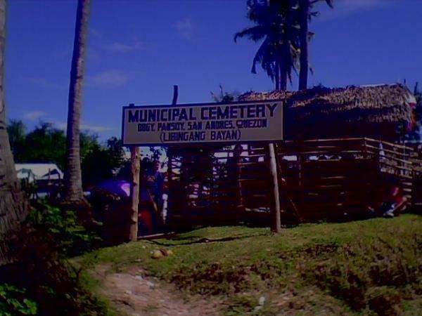
San Andres in the province of Quezon is a fourth class municipality situated 128 kilometers east-southeast of the provincial capitol of Lucena City. Administratively, the town of San Andres is subdivided into seven barangays. Poblacion forms the center, whereas the other six are in the outlying areas which are several kilometres away from the center of the municipality. The municipality also includes the island barangay of Alibijaban in Ragay Gulf.
References
San Andres, Quezon Wikipedia(Text) CC BY-SA