
State Pará Postal Code 68860-000 Area 1,044 km² Population 17,077 (2008) | Time zone BST (UTC-3) Elevation 5 m Local time Friday 7:52 PM | |
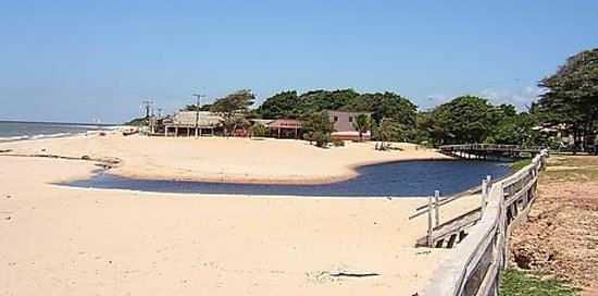 | ||
Weather 26°C, Wind NE at 11 km/h, 87% Humidity Points of interest Praia de Joanes, Praia Grande de Salvaterra, Joanes, Praia Grande | ||
Salvaterra is a Brazilian municipality located in the state of Pará. Its population as of 2008 is estimated to be 17,077 people. The area of the municipality is 1,043.504 km². The city is located in the mesoregion Marajó and the microregion of Arari.
Contents
Map of Salvaterra - State of Par%C3%A1, Brazil
Conservation
The municipality is contained in the 59,985 square kilometres (23,160 sq mi) Marajó Archipelago Environmental Protection Area, a sustainable use conservation unit established in 1989 to protect the environment of the delta region. The municipality operates the Mata do Bacurizal e do Lago Caraparu Ecological Reserve, a forest area with a lake just south of the town of Salvaterra.
References
Salvaterra, Pará Wikipedia(Text) CC BY-SA