
Country United States FIPS code 29-65558 Elevation 242 m Local time Wednesday 1:49 PM | GNIS feature ID 0766246 Area 289.3 km² Population 9,497 (2010) | |
 | ||
Weather 11°C, Wind E at 34 km/h, 93% Humidity Points of interest Lakeview Park, Graceland Museum Complex/Audrain County Historical Society, Plunkett Park | ||
Salt River Township is one of eight townships in Audrain County, Missouri, United States. As of the 2010 census, its population was 9,497.
Contents
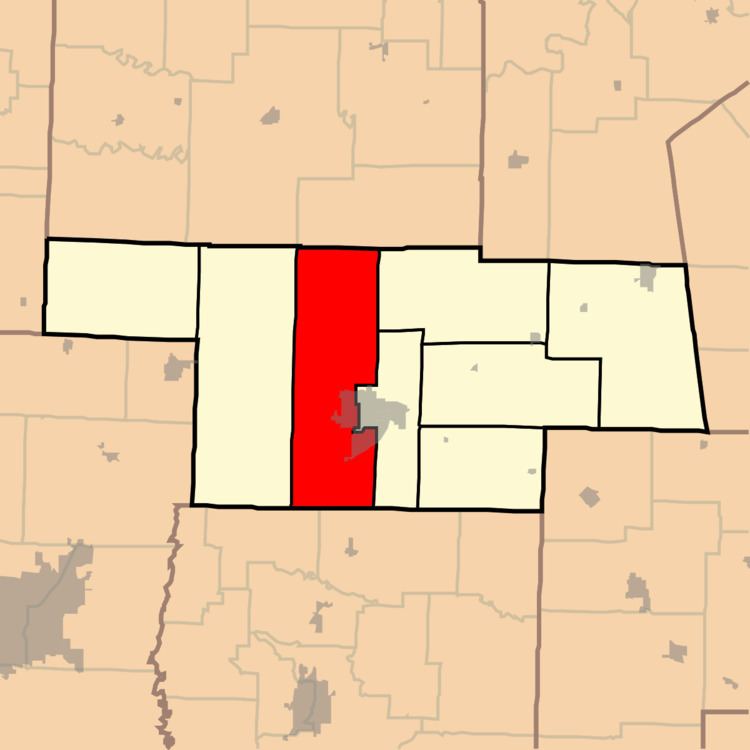
Map of Salt River Township, MO 65265, USA
Salt River Township was established in 1837, and named for a river of the same name within its borders.
Geography
Salt River Township covers an area of 111.7 square miles (289.3 km2). It contains part of one incorporated city, Mexico (the county seat). Unincorporated places include Champ, Francis (railroad station; formerly Felton), Molino (former post office), Ortiz (railroad station; formerly Doan, and also known as Ortiz Station), Salt River (former post office), and Young's Creek (former post office).
The streams of Brushy Branch, Fish Branch, Fivemile Creek, Little Skull Lick Creek, Middle Lick Creek and Skull Lick Creek run through this township.
There are four cemeteries in the township: Elmwood, Mount Zion, Saint Brendans and Trinity.