Area 1,891 km² | Local time Wednesday 10:45 AM | |
 | ||
Weather 24°C, Wind SE at 10 km/h, 88% Humidity | ||
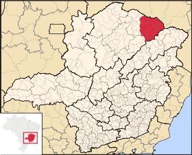
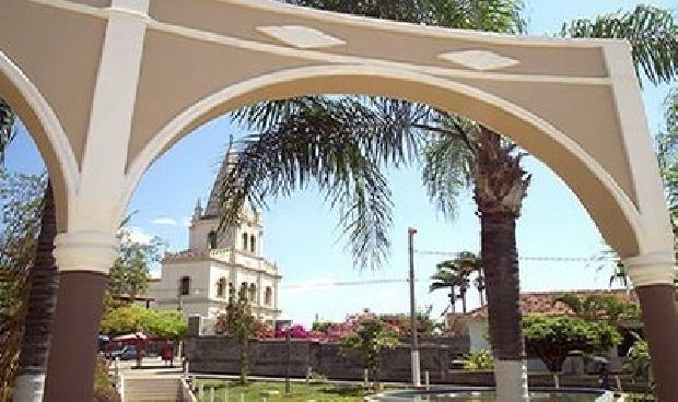
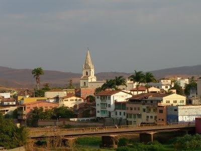
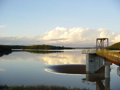
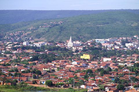
Salinas is a municipality in the northeast of the Brazilian state of Minas Gerais. Its population in 2007 was 37,370 inhabitants in a total area of 1,897 km².
Contents
- Important facts and Distances
- Climate
- The economy
- IBGE statistical microregion
- Health and education
- References

Important facts and Distances
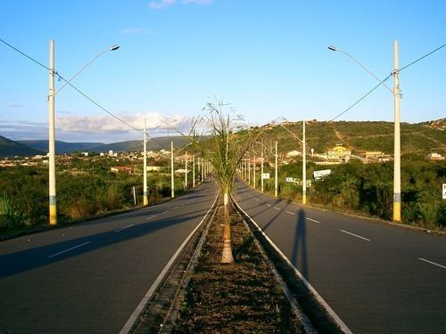
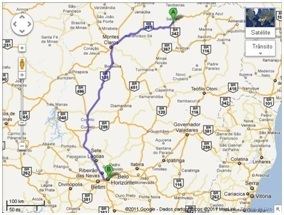
The elevation is 471 meters. It became a municipality in 1880. The postal code (CEP) is 39560-000. Population density was around 18 inhab/km². Salinas is located on highway BR-251. The distance to Montes Claros is 210 km. The distance to the Rio-Bahia BR-116 is 108 km.
Neighboring municipalities

Climate
Salinas has a semi-arid climate with high temperatures almost all year round. There is a period of severe drought and another with torrential and sporadic rains. The average summer temperature high is 33°C and the average winter high is 18°C.
The economy
The main economic activities are cattle raising (46,000 head in 2006), small industries and agriculture. The main crops are bananas, citrus fruits, mangoes, beans, sugarcane, and corn. The local rum (cachaça) is well known. In the rural area there were 2,084 producers on 111,541 ha. Natural pasture made up 62,000 ha, woodland 35,000 ha. and planted area 7,500 ha. Around 6,000 persons worked in agriculture.
In the urban area there were 4 banking agencies in 2006. The GDP in 2005 was R$157,547.
IBGE statistical microregion
Salinas is also a statistical microregion (53) consisting of 17 municipalities: Águas Vermelhas, Berizal, Curral de Dentro, Divisa Alegre, Fruta de Leite, Indaiabira, Montezuma, Ninheira, Novorizonte, Rio Pardo de Minas, Rubelita, Salinas, Santa Cruz de Salinas, Santo Antônio do Retiro, São João do Paraíso, Taiobeiras, Vargem Grande do Rio Pardo. The population of this region was 180,136 in 2000 and the area is 17,883.30 km².
Health and education
This municipality is isolated from major population centers and suffers from drought and poor soils.
(For the complete list see