
Country United States Time zone CST (UTC-6) Area 94.77 km² Population 1,396 (2010) | Established April 7, 1854 Elevation 188 m Local time Wednesday 8:31 AM | |
 | ||
ZIP codes 60481, 60901, 60913, 60935, 60941 Weather 4°C, Wind E at 16 km/h, 97% Humidity | ||
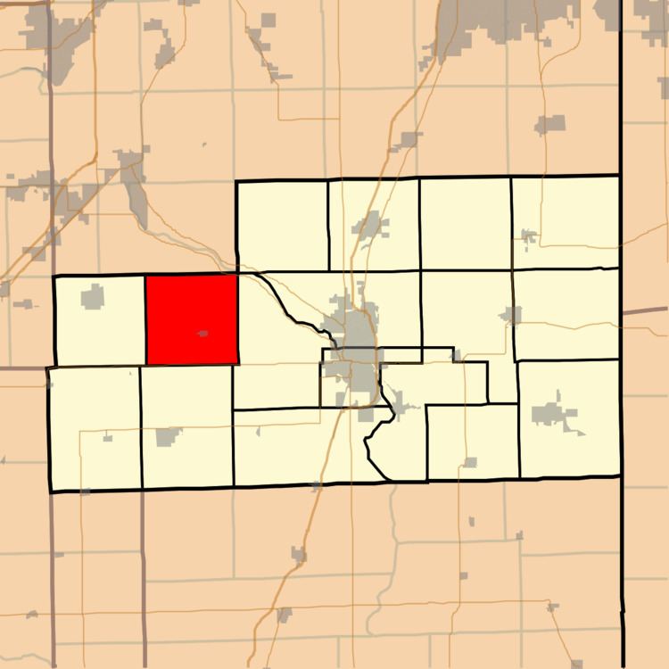
Salina Township is one of seventeen townships in Kankakee County, Illinois, USA. As of the 2010 census, its population was 1,396 and it contained 537 housing units. It was formed from part of Limestone Township on April 7, 1854.
Contents
- Map of Salina Township IL USA
- Geography
- Cities towns villages
- Unincorporated towns
- Adjacent townships
- Cemeteries
- Major highways
- Airports and landing strips
- Landmarks
- Government
- Political districts
- School districts
- References
Map of Salina Township, IL, USA
Geography
According to the 2010 census, the township has a total area of 36.59 square miles (94.8 km2), all land.
Cities, towns, villages
Unincorporated towns
(This list is based on USGS data and may include former settlements.)
Adjacent townships
Cemeteries
The township contains these three cemeteries: Beach, Bonfield and Maple Grove.
Major highways
Airports and landing strips
Landmarks
Government
The township is governed by an elected Town Board of a Supervisor and four Trustees. The Township also has an elected Assessor, Clerk, Highway Commissioner and Supervisor. The Township Office is located at 3388 North 10000 West Road, Bonfield, IL 60913.
Political districts
School districts
References
Salina Township, Kankakee County, Illinois Wikipedia(Text) CC BY-SA