Rahul Sharma (Editor)

Salin, Myanmar

Updated on
Edit
Like
Comment
Share on FacebookTweet on TwitterShare on LinkedInShare on Reddit
Country
  
Burma

District
  
Minbu District

Division
  
Magway Division

Time zone
  
MST (UTC+6:30)

Salin, Myanmar

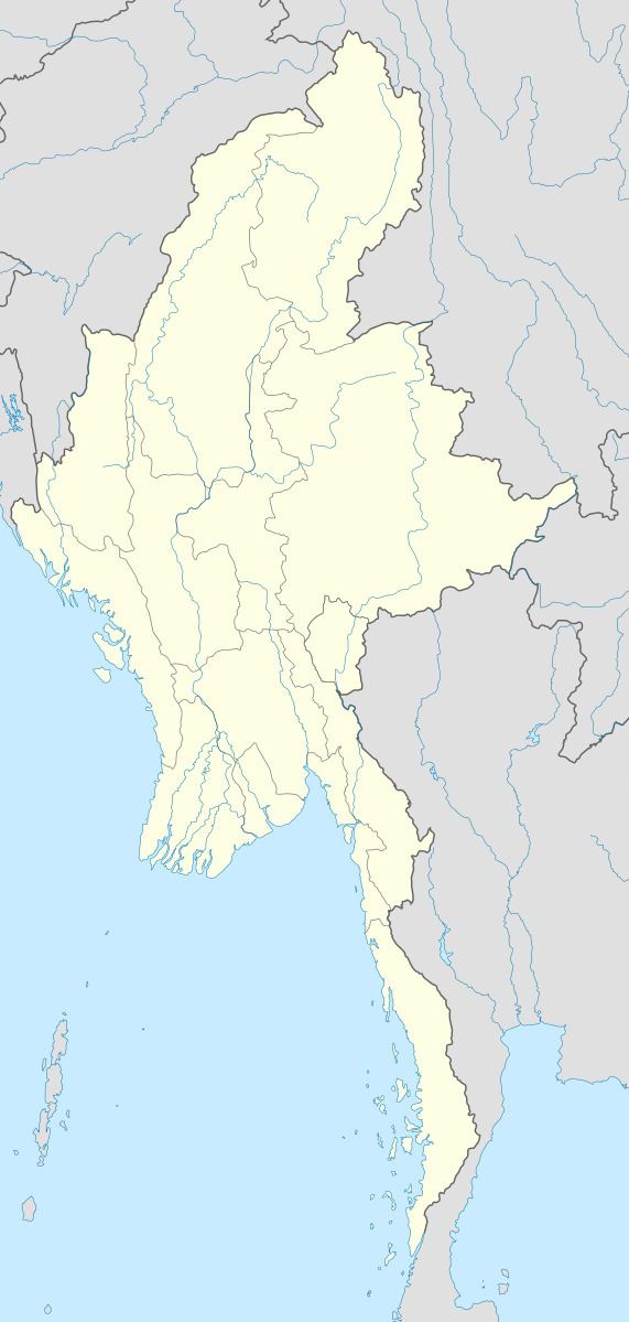
Salin (Burmese: စလင်းမြို့) is a town of Minbu District in Magway Region, Myanmar. Salin is on the western bank of the Irrawaddy River and is 50 miles (80 km) from the capital of Magway. The town, founded in 1119, is known for its collection of Buddhist monasteries and pagodas, a legacy of its prominent residents, who donated these public buildings.At the 2014 census,the urban population of Salin was 12,500.

Contents

Map of Salin, Myanmar (Burma)

Sites of interest

  • Wetthe Lake - a 1,000 acres (400 ha)-wide lake filled with lotus paddies, now a designated bird sanctuary.
  • Salay Yokson Monastery (built 1868) - a towering monastery with 245 pillars, with an area of 13,350 square feet (1,240 m2) and a height of 100 feet (30 m), known for its wood sculptures and handiwork. The structure was renovated by the government in 2003.
  • U Ottama Monastery aka Kosaung Monastery (built 1819) - a Buddhist monastery consisting of 9 apartments and an underground tunnel. During the colonial era, it was known as the U Ottama Fort because revolutionary soldiers took refuge there. The structure was renovated in 2004.
  • References

    Salin, Myanmar Wikipedia