
Time zone CST (UTC-6) Area 94.17 km² Population 1,003 (2010) | Established November 2, 1852 Elevation 207 m Local time Wednesday 6:32 AM | |
 | ||
ZIP codes 61458, 61529, 61531, 61572 Weather 7°C, Wind E at 19 km/h, 93% Humidity | ||
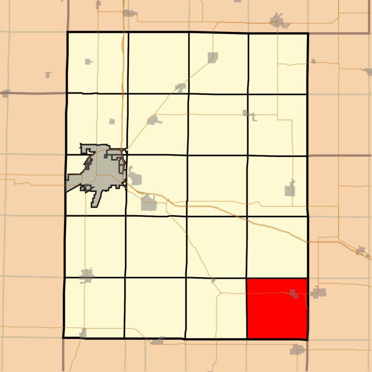
Salem Township is one of twenty-one townships in Knox County, Illinois, USA. As of the 2010 census, its population was 1,003 and it contained 449 housing units.
Contents
- Map of Salem Township IL USA
- Geography
- Cities towns villages
- Unincorporated towns
- Cemeteries
- Airports and landing strips
- Lakes
- School districts
- Political districts
- References
Map of Salem Township, IL, USA
Geography
According to the 2010 census, the township has a total area of 36.36 square miles (94.2 km2), of which 35.76 square miles (92.6 km2) (or 98.35%) is land and 0.6 square miles (1.6 km2) (or 1.65%) is water.
Cities, towns, villages
Unincorporated towns
(This list is based on USGS data and may include former settlements.)
Cemeteries
The township contains these four cemeteries: Blakeslee, Summitt-Douglas, Uniontown and Yates City.
Airports and landing strips
Lakes
School districts
Political districts
References
Salem Township, Knox County, Illinois Wikipedia(Text) CC BY-SA