
Country United States Elevation 477 m Local time Wednesday 6:32 AM | GNIS feature ID 0474421 Area 235 km² Population 35 (2000) | |
 | ||
Weather 10°C, Wind NE at 23 km/h, 96% Humidity | ||
Salem Township is a township in Greenwood County, Kansas, USA. As of the 2000 census, its population was 35.
Contents
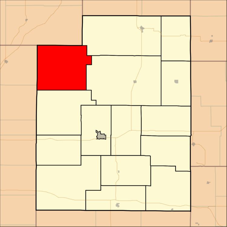
Map of Salem, KS, USA
Geography
Salem Township covers an area of 90.72 square miles (235.0 km2) and contains no incorporated settlements. The ghost town of Teterville is located in the township.
The streams of Battle Creek and Swing Creek run through this township.
References
Salem Township, Greenwood County, Kansas Wikipedia(Text) CC BY-SA