
Country United States County Hamilton FIPS code 39-70050 Elevation 221 m Population 3,839 (2010) | State Ohio Time zone Eastern (EST) (UTC-5) GNIS feature ID 1056507 Area 4.3 km² | |
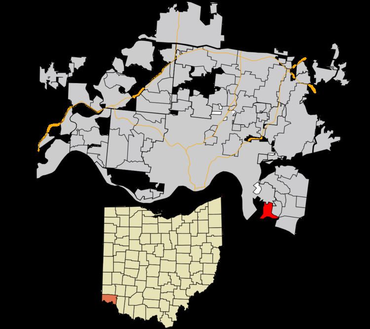 | ||
Salem Heights is a census-designated place (CDP) in Anderson Township, Hamilton County, Ohio, United States, adjacent to the city of Cincinnati. The population of Salem Heights was 3,839 at the 2010 census.
Geography
Salem Heights is located at 39°4′29″N 84°22′58″W, 10 miles (16 km) east of downtown Cincinnati. The Cincinnati neighborhood of Mount Washington is directly to the north. The census-designated place of Fruit Hill lies to the east, and to the south are Interstate 275 and the Ohio River.
According to the United States Census Bureau, the Salem Heights CDP has a total area of 1.7 square miles (4.3 km2), all land.
References
Salem Heights, Ohio Wikipedia(Text) CC BY-SA