
 | ||
Salar de Talar is a 46 square kilometres salt flat located in the high puna of northern Chilean Andes, at an altitude of 3,950 m. It is part of a series of salt lakes and salt flats located at the foothills of a chain of volcanoes stretching along the eastern side of the much greater Salar de Atacama.
Map of Salar de Talar, San Pedro de Atacama, Antofagasta Region, Chile
The closed drainage basin of Salar de Talar encompasses about 476 km² and is adjacent to other endorheic basins, including Laguna Miscanti, Laguna Tuyajto and Salar de Capur basins.
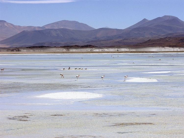
The salty flat is bordered on the west by Caichinque and on the east by Cerro Medano. This latter is a mountain with striking shades of grey and brown, which contrast nicely with the sparkling white of the salt flat's surface. On top of that, colorful ponds fringe its shores. An important lava flow from the Caichinque volcanic complex formed two lobes which advanced into Salar de Talar.
The climate of the area is arid, with an average annual precipitation of about 150 mm. Salar de Talar is a part of the Central Andean dry puna ecoregion, which in this zone is characterized by tussock grass vegetation.