
Country Canada Time zone EST (UTC−5) Area code(s) 450 and 579 Area 59.1 km² Population 2,742 (2011) | Constituted May 14, 1877 Postal code(s) J3P 5N3 Highways No major routes Local time Tuesday 10:16 PM Province Québec | |
 | ||
Weather 2°C, Wind W at 8 km/h, 85% Humidity RCMs Montérégie, Le Bas-Richelieu Regional County Municipality | ||
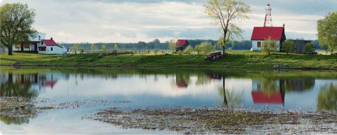
Sainte-Anne-de-Sorel is a municipality in the Pierre-De Saurel Regional County Municipality, in the Montérégie region of Quebec. The community consists of a mainland section along with several islands extending into Lac Saint-Pierre. The population as of the Canada 2011 Census was 2,742, which makes it the largest municipality and the second largest urban division of the RCM.
Map of Sainte-Anne-de-Sorel, QC, Canada
From 2006 throughout 2010 there has been much speculation about Sainte-Anne willing to merge into Sorel-Tracy to become a district (much like the former Saint-Pierre-de-Sorel and Tracy municipalities), however at the present time there has been no future talk about it at both city halls. The RCM planning administration is against the merger though, as it would compromise development potential in Sainte-Anne in favor of Sorel, since property evaluation services would be unified.