
Area 34 km² | Largest city Welchman Hall | |
 | ||
Points of interest Harrison's Cave, Mount Hillaby, Flower Forest, Welchman Hall Gully, Springvale eco‑heritage museum | ||
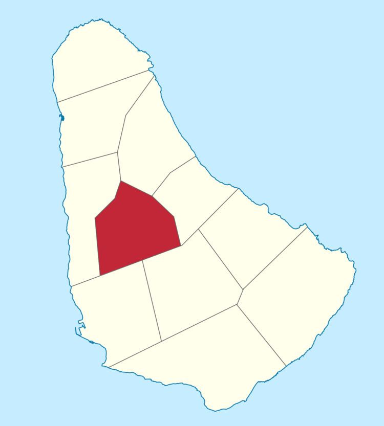
The parish of Saint Thomas ("St. Thomas") is found in the centre of Barbados. It is one of only two landlocked parishes in the island, the other being Saint George to the south.
Contents
Map of Saint Thomas, Barbados
Saint Thomas also exists as one of the whole constituencies existing in Barbados, the others being, Saint Lucy and, Saint Andrew. It is represented in The House of Assembly by member of the Barbados Labour Party, the Hon. Cynthia Forde J.P., M.P.
Parishes bordering Saint Thomas
Education
In 1997, the Government of Barbados under the Ministry of Education in an attempt to create more spaces for the increase in entrants into Secondary Schools, opened the St. Thomas Secondary School the precursor of the Lester Vaughan Secondary School - named after a very distinguished Barbadian who assisted in the transformation of the Educational Sector as well as wrote the National Pledge of Barbados. To date, the Lester Vaughan School is the youngest Secondary School and one of the most technologically advanced in the Island.
The Barbados Association for Children With Intellectual Challenges operates the Challenor School for both children and adults with mental retardation.