
Country Canada Time zone EST (UTC−5) Area code(s) 450 and 579 Population 1,553 (2011) Province Québec | Constituted July 1, 1855 Postal code(s) J0S 1W0 Area 62.4 km² Local time Tuesday 8:56 PM | |
 | ||
Highways Route 132
Route 201
Route 236 Weather 2°C, Wind SW at 5 km/h, 100% Humidity RCMs Montérégie, Beauharnois-Salaberry Regional County Municipality | ||
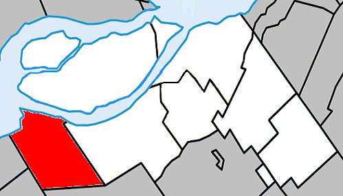
Saint-Stanislas-de-Kostka is a municipality of Quebec, Canada, located within the Beauharnois-Salaberry Regional County Municipality in the Montérégie administrative region. The population as of the Canada 2011 Census was 1,553.
Contents
Map of Saint-Stanislas-de-Kostka, QC, Canada
Communities
The following locations reside within the municipality's boundaries:
Lakes & Rivers
The following waterways pass through or are situated within the municipality's boundaries:
References
Saint-Stanislas-de-Kostka, Quebec Wikipedia(Text) CC BY-SA