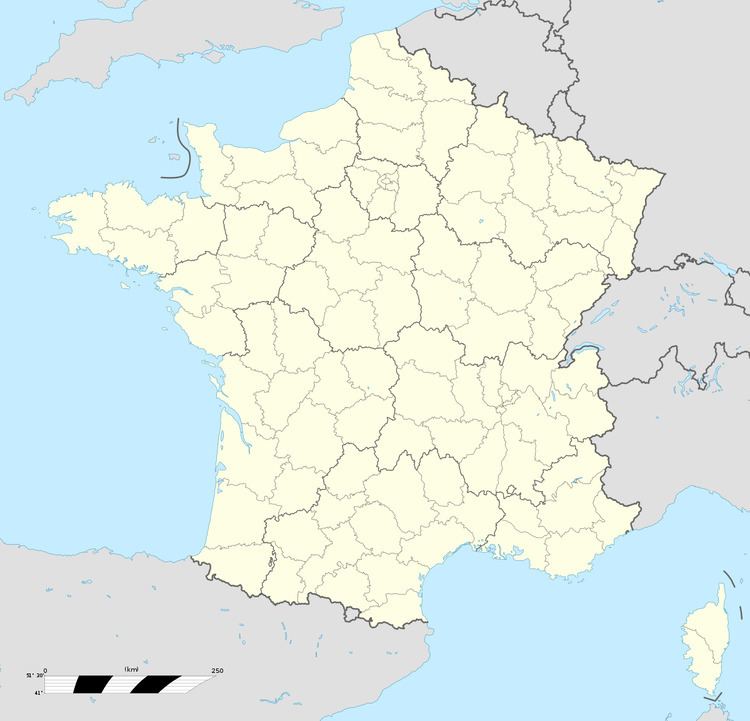
Country France Area 19.81 km² Population 386 (1999) | Intercommunality Surgères Local time Wednesday 1:25 AM | |
 | ||
Weather 7°C, Wind E at 8 km/h, 87% Humidity | ||
Saint-Pierre-d'Amilly is a commune in the Charente-Maritime department in southwestern France.
Contents
Map of 17700 Saint-Pierre-d'Amilly, France
Geography
The village of Charente-Maritime is at the extreme northeast of the Département, 3 km (2 mi) from the Département of Deux-Sèvres (79) and the village of Mauzé-sur-le-Mignon, and 10 km (6 mi) from Surgères, the seat of the canton.
Places and monuments
Economy
The commune is home to the Magernaud site of the National Institute for Agricultural Research (INRA), specialising in the improvement of aviculture (bird farming), heliciculture (snail farming) and apiculture (beekeeping). This site also houses an outpost of GEVES, the Groupe d'étude et de contrôle des variétés et des semences ("Group for the study and control of varieties and seeds"), a seedbank and plant selection institution which works on the homologation of new vegetable varieties. It collaborates also with French: 'ARVALIS - Institut du végétal' ("ARVALIS - Institute of Vegetation").
